Area Overview for Wirral District (B)
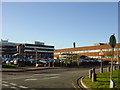
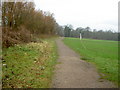
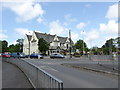
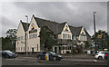
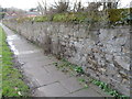
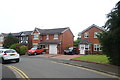
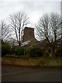
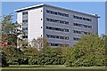
Photos of Wirral District (B)

Area Information
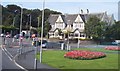
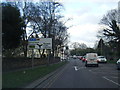
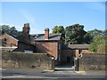
Living in Wirral District (B) means residing within a local authority district that covers 253.5 square kilometres of land in North West England. This area occupies the northern half of the Wirral Peninsula, positioned between the River Dee to the west and the River Mersey to the east. The district encompasses historic towns including Birkenhead, Wallasey, Bebington, and Hoylake, all formed into the current Metropolitan Borough structure on 1 April 1974. The terrain is defined by this geography, with human habitation stretching back six millennia. Early settlers left distinct marks, from Roman roads and a port at Meols to an Anglo-Saxon settlement noted after 616. While industrial growth in the 19th century featured activities such as shipbuilding and the establishment of model villages like Port Sunlight, the borough's modern identity stems from these layered histories. You are stepping into a landscape that has evolved from ancient crossings to modern administrative boundaries, creating a district with deep roots and a defined scope.
- Area Type
- District/Borough
- Area Size
- 253.5 km²
- Population
- Not available
- Population Density
- Not available
Demographics
The community in Wirral District (B) presents a distinct demographic profile characterised by a median age of 70. This figure indicates that the resident population is significantly older than the typical young housing market. The most common age range is simply listed as total, meaning specific age brackets are not differentiated beyond this central tendency. Despite this older demographic skew, you should note that 66 per cent of residents own their homes. This high homeownership rate contrasts with areas where renting dominates. Data on household composition, accommodation types, religion, and predominant ethnic groups is included in the administrative records but does not provide specific percentage figures or breakdowns for this report. The absence of detailed breakdowns for ethnicity or religion means you cannot currently assess the diversity levels with precision. However, the age structure and homeownership statistics remain clear indicators of the area's current social fabric.
Household Size
Accommodation Type
Tenure
Ethnic Group
Religion
Household Composition
Age
Household Deprivation
NS-SEC
Explore more demographic insights in this area
Go to Demographics tabPlanning
Planning Constraints
- Flood RiskPremium
- Ramsar Wetland SitesPremium
- Area of Outstanding Natural BeautyPremium
- Protected Nature ReservePremium
- Protected WoodlandPremium