Area Overview for WA8 8XF
Photos of WA8 8XF
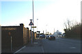
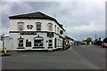
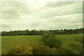
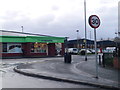
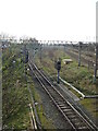
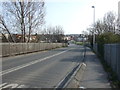
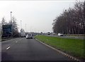
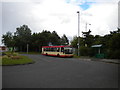
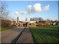
15 photos from this area
Area Information
Key information about the WA8 8XF including its size, population, and administrative classification.
- Area Type
- Postcode
- Area Size
- 8.3 hectares
- Population
- 2142
- Population Density
- 360 people/km²
House Prices in WA8 8XF
68
Properties
£77,971
Average Sold Price
£22,000
Lowest Price
£130,000
Highest Price
Showing 68 properties
| Address | Type | Beds | Baths | Last Sale Price | Last Sale Date | |
|---|---|---|---|---|---|---|
| 56 Baguley Avenue, Widnes, WA8 8XF | Terraced | 3 | 1 | £130,000 | Feb 2024 | |
| 64 Baguley Avenue, Widnes, WA8 8XF | house | - | - | £110,000 | Jan 2023 | |
| 81 Baguley Avenue, Widnes, WA8 8XF | house | - | - | £110,000 | Nov 2022 | |
| 97 Baguley Avenue, Widnes, WA8 8XF | house | - | - | £100,000 | Jun 2021 | |
| 14 Baguley Avenue, Widnes, WA8 8XF | house | - | - | £67,500 | Oct 2019 | |
| 99 Baguley Avenue, Widnes, WA8 8XF | house | - | - | £52,500 | Jan 2019 | |
| 45 Baguley Avenue, Widnes, WA8 8XF | house | - | - | £80,000 | Dec 2018 | |
| 54 Baguley Avenue, Widnes, WA8 8XF | house | 3 | - | £52,725 | Dec 2018 | |
| 71 Baguley Avenue, Widnes, WA8 8XF | Terraced | 3 | 1 | £110,000 | Oct 2018 | |
| 20 Baguley Avenue, Widnes, WA8 8XF | Terraced | 3 | 1 | £91,000 | Jul 2018 |
Page 1 of 7
Energy Efficiency in WA8 8XF
Amenities
Schools
| Rank | School | Type | Entry gender | Ages |
|---|
Explore more schools in this area
Go to Schools tabDemographics
Household Size
One person
most common
Accommodation Type
Houses
most common
Tenure
58
majority
Ethnic Group
White
most common
Religion
N/A
most common
Household Composition
N/A
most common
Age
47
median
Adults (30-64 years)
most common
Household Deprivation
N/A
with no deprivation
NS-SEC
22
in Lower managerial occupations
Explore more demographic insights in this area
Go to Demographics tabPlanning
Planning Constraints
- Flood RiskPremium
- Ramsar Wetland SitesPremium
- Area of Outstanding Natural BeautyPremium
- Protected Nature ReservePremium
- Protected WoodlandPremium