Area Overview for WA5 1EB
Photos of WA5 1EB
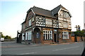
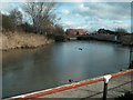
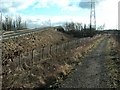
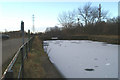
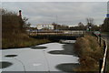
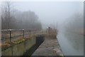
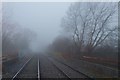
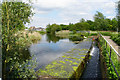
31 photos from this area
Area Information
Key information about the WA5 1EB including its size, population, and administrative classification.
- Area Type
- Postcode
- Area Size
- 1.0 hectares
- Population
- 2654
- Population Density
- 1432 people/km²
House Prices in WA5 1EB
20
Properties
£99,820
Average Sold Price
£37,000
Lowest Price
£200,000
Highest Price
Showing 20 properties
| Address | Type | Beds | Baths | Last Sale Price | Last Sale Date | |
|---|---|---|---|---|---|---|
| 327 Old Liverpool Road, Warrington, WA5 1EB | Terraced | 4 | - | £200,000 | Aug 2024 | |
| 359 Old Liverpool Road, Warrington, WA5 1EB | Terraced | 2 | 1 | £122,000 | Apr 2024 | |
| 331 Old Liverpool Road, Warrington, WA5 1EB | Terraced | 2 | 1 | £105,000 | Jan 2024 | |
| 325 Old Liverpool Road, Warrington, WA5 1EB | Terraced | 3 | - | £168,500 | Sep 2021 | |
| 365 Old Liverpool Road, Warrington, WA5 1EB | Terraced | 2 | 1 | £83,750 | Jan 2019 | |
| 363 Old Liverpool Road, Warrington, WA5 1EB | house | - | - | £55,000 | Jun 2009 | |
| 369 Old Liverpool Road, Warrington, WA5 1EB | Terraced | - | - | £90,000 | Jan 2007 | |
| 333 Old Liverpool Road, Warrington, WA5 1EB | house | - | - | £82,000 | Dec 2003 | |
| 355 Old Liverpool Road, Warrington, WA5 1EB | Terraced | - | - | £54,950 | Feb 2002 | |
| 323 Old Liverpool Road, Warrington, WA5 1EB | Terraced | - | - | £37,000 | Jan 1995 |
Page 1 of 2
Energy Efficiency in WA5 1EB
Amenities
Schools
| Rank | School | Type | Entry gender | Ages |
|---|
Explore more schools in this area
Go to Schools tabDemographics
Household Size
Two person
most common
Accommodation Type
Houses
most common
Tenure
56
majority
Ethnic Group
White
most common
Religion
N/A
most common
Household Composition
N/A
most common
Age
47
median
Adults (30-64 years)
most common
Household Deprivation
N/A
with no deprivation
NS-SEC
26
in Lower managerial occupations
Explore more demographic insights in this area
Go to Demographics tabPlanning
Planning Constraints
- Flood RiskPremium
- Ramsar Wetland SitesPremium
- Area of Outstanding Natural BeautyPremium
- Protected Nature ReservePremium
- Protected WoodlandPremium