Area Overview for WA5 1BU
Photos of WA5 1BU
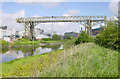
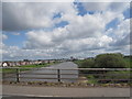
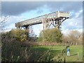
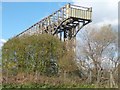
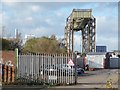
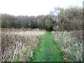
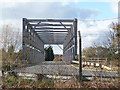
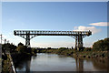


90 photos from this area
Area Information
Key information about the WA5 1BU including its size, population, and administrative classification.
- Area Type
- Postcode
- Area Size
- 2.5 hectares
- Population
- 2654
- Population Density
- 1432 people/km²
House Prices in WA5 1BU
54
Properties
£95,200
Average Sold Price
£20,000
Lowest Price
£161,000
Highest Price
Showing 54 properties
| Address | Type | Beds | Baths | Last Sale Price | Last Sale Date | |
|---|---|---|---|---|---|---|
| 189 Old Liverpool Road, Warrington, WA5 1BU | Terraced | 3 | 1 | £160,000 | Oct 2025 | |
| 181 Old Liverpool Road, Warrington, WA5 1BU | Terraced | 2 | 1 | £157,500 | Feb 2025 | |
| 96 Old Liverpool Road, Warrington, WA5 1BU | Terraced | 3 | 1 | £145,000 | Jan 2025 | |
| 215 Old Liverpool Road, Warrington, WA5 1BU | Terraced | 3 | 1 | £102,500 | Nov 2023 | |
| 116 Old Liverpool Road, Warrington, WA5 1BU | Semi-detached | 2 | - | £141,000 | Jun 2023 | |
| 219 Old Liverpool Road, Warrington, WA5 1BU | Terraced | 2 | 1 | £146,000 | Feb 2023 | |
| 197 Old Liverpool Road, Warrington, WA5 1BU | house | - | - | £100,000 | Feb 2023 | |
| 211 Old Liverpool Road, Warrington, WA5 1BU | house | - | - | £125,000 | May 2022 | |
| 187 Old Liverpool Road, Warrington, WA5 1BU | house | - | - | £125,000 | Mar 2022 | |
| 201 Old Liverpool Road, Warrington, WA5 1BU | Terraced | 3 | - | £120,000 | Mar 2021 |
Page 1 of 6
Energy Efficiency in WA5 1BU
Amenities
Schools
| Rank | School | Type | Entry gender | Ages |
|---|
Explore more schools in this area
Go to Schools tabDemographics
Household Size
Two person
most common
Accommodation Type
Houses
most common
Tenure
56
majority
Ethnic Group
White
most common
Religion
N/A
most common
Household Composition
N/A
most common
Age
47
median
Adults (30-64 years)
most common
Household Deprivation
N/A
with no deprivation
NS-SEC
26
in Lower managerial occupations
Explore more demographic insights in this area
Go to Demographics tabPlanning
Planning Constraints
- Flood RiskPremium
- Ramsar Wetland SitesPremium
- Area of Outstanding Natural BeautyPremium
- Protected Nature ReservePremium
- Protected WoodlandPremium