Area Overview for WA3 2LQ
Photos of WA3 2LQ
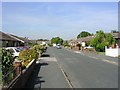
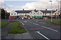
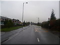
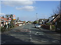
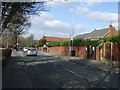
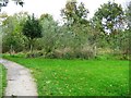
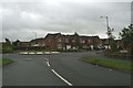
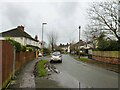
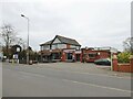
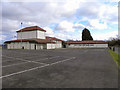
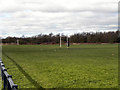
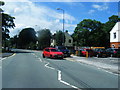
15 photos from this area
Area Information
Key information about the WA3 2LQ including its size, population, and administrative classification.
- Area Type
- Postcode
- Area Size
- 9074 m²
- Population
- 1612
- Population Density
- 4597 people/km²
House Prices in WA3 2LQ
20
Properties
£128,918
Average Sold Price
£51,600
Lowest Price
£249,995
Highest Price
Showing 20 properties
| Address | Type | Beds | Baths | Last Sale Price | Last Sale Date | |
|---|---|---|---|---|---|---|
| 19 Stein Avenue, Lowton, WA3 2LQ | Semi-detached | 3 | 1 | £179,950 | Mar 2021 | |
| 23 Stein Avenue, Lowton, WA3 2LQ | house | - | - | £245,000 | Oct 2020 | |
| 17 Stein Avenue, Lowton, WA3 2LQ | Semi-detached | 3 | 1 | £159,950 | May 2020 | |
| 25 Stein Avenue, Lowton, WA3 2LQ | house | - | - | £249,995 | Apr 2010 | |
| 5 Stein Avenue, Lowton, WA3 2LQ | house | - | - | £148,000 | Dec 2009 | |
| 12 Stein Avenue, Lowton, WA3 2LQ | Semi-detached | - | - | £195,000 | Mar 2005 | |
| 2 Stein Avenue, Lowton, WA3 2LQ | Semi-detached | - | - | £147,000 | May 2004 | |
| 9 Stein Avenue, Lowton, WA3 2LQ | Semi-detached | - | - | £153,500 | Aug 2003 | |
| 16 Stein Avenue, Lowton, WA3 2LQ | Semi-detached | - | - | £146,000 | Jun 2003 | |
| 3 Stein Avenue, Lowton, WA3 2LQ | Semi-detached | - | - | £91,000 | Nov 2001 |
Page 1 of 2
Energy Efficiency in WA3 2LQ
Amenities
Schools
| Rank | School | Type | Entry gender | Ages |
|---|
Explore more schools in this area
Go to Schools tabDemographics
Household Size
Family (3-5 people)
most common
Accommodation Type
Houses
most common
Tenure
89
majority
Ethnic Group
White
most common
Religion
N/A
most common
Household Composition
N/A
most common
Age
47
median
Adults (30-64 years)
most common
Household Deprivation
N/A
with no deprivation
NS-SEC
43
in Lower managerial occupations
Explore more demographic insights in this area
Go to Demographics tabPlanning
Planning Constraints
- Flood RiskPremium
- Ramsar Wetland SitesPremium
- Area of Outstanding Natural BeautyPremium
- Protected Nature ReservePremium
- Protected WoodlandPremium