Area Overview for WA3 2LG
Photos of WA3 2LG
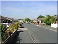
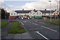
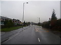
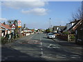
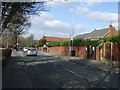
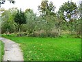
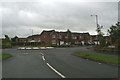
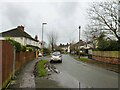
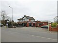
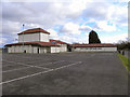
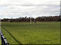
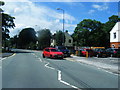
15 photos from this area
Area Information
Key information about the WA3 2LG including its size, population, and administrative classification.
- Area Type
- Postcode
- Area Size
- 2.3 hectares
- Population
- 1612
- Population Density
- 4597 people/km²
House Prices in WA3 2LG
45
Properties
£159,406
Average Sold Price
£50,040
Lowest Price
£457,000
Highest Price
Showing 45 properties
| Address | Type | Beds | Baths | Last Sale Price | Last Sale Date | |
|---|---|---|---|---|---|---|
| 8 Durrell Way, Lowton, WA3 2LG | Semi-detached | 3 | 2 | £235,000 | Feb 2025 | |
| 41 Durrell Way, Lowton, WA3 2LG | house | 3 | 2 | £268,000 | Oct 2024 | |
| 34 Durrell Way, Lowton, WA3 2LG | house | - | - | £200,000 | Oct 2024 | |
| 2 Durrell Way, Lowton, WA3 2LG | Retail | 4 | 4 | £457,000 | May 2022 | |
| 30 Durrell Way, Lowton, WA3 2LG | Semi-detached | 3 | 1 | £192,000 | Apr 2022 | |
| 17 Durrell Way, Lowton, WA3 2LG | house | - | - | £271,000 | Feb 2021 | |
| 24 Durrell Way, Lowton, WA3 2LG | house | - | - | £272,000 | Oct 2020 | |
| 28 Durrell Way, Lowton, WA3 2LG | Semi-detached | 3 | - | £170,000 | Aug 2020 | |
| 33 Durrell Way, Lowton, WA3 2LG | Detached | 5 | - | £250,000 | Feb 2019 | |
| 32 Durrell Way, Lowton, WA3 2LG | house | - | - | £135,500 | Aug 2018 |
Page 1 of 5
Energy Efficiency in WA3 2LG
Amenities
Schools
| Rank | School | Type | Entry gender | Ages |
|---|
Explore more schools in this area
Go to Schools tabDemographics
Household Size
Family (3-5 people)
most common
Accommodation Type
Houses
most common
Tenure
89
majority
Ethnic Group
White
most common
Religion
N/A
most common
Household Composition
N/A
most common
Age
47
median
Adults (30-64 years)
most common
Household Deprivation
N/A
with no deprivation
NS-SEC
43
in Lower managerial occupations
Explore more demographic insights in this area
Go to Demographics tabPlanning
Planning Constraints
- Flood RiskPremium
- Ramsar Wetland SitesPremium
- Area of Outstanding Natural BeautyPremium
- Protected Nature ReservePremium
- Protected WoodlandPremium