Area Overview for WA16 6QW
Photos of WA16 6QW
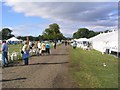
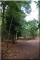
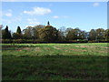
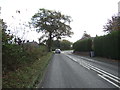
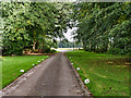
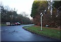
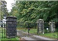
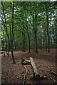
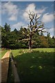
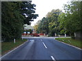
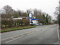
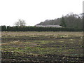
15 photos from this area
Area Information
Key information about the WA16 6QW including its size, population, and administrative classification.
- Area Type
- Postcode
- Area Size
- 6.3 hectares
- Population
- 2379
- Population Density
- 42 people/km²
House Prices in WA16 6QW
11
Properties
£3,170,000
Average Sold Price
£1,825,000
Lowest Price
£5,100,000
Highest Price
Showing 11 properties
| Address | Type | Beds | Baths | Last Sale Price | Last Sale Date | |
|---|---|---|---|---|---|---|
| Silverdale, Mereside Road, Mere, WA16 6QW | Detached | 4 | 4 | £2,925,000 | Jan 2025 | |
| Low Wood, Mereside Road, Mere, WA16 6QW | Detached | 5 | 2 | £1,825,000 | Dec 2024 | |
| Mereview, Mereside Road, Mere, WA16 6QW | house | - | - | £5,100,000 | Sep 2021 | |
| Melilia, Mereside Road, Mere, WA16 6QW | house | - | - | £3,100,000 | Aug 2021 | |
| Waters Edge, Mereside Road, Mere, WA16 6QW | Detached | 6 | 5 | £3,400,000 | Nov 2016 | |
| Fern Cottage, Mereside Road, Mere, WA16 6QW | Detached | - | - | £2,670,000 | Apr 2010 | |
| Sunningdale, Mereside Road, Mere, WA16 6QW | Detached | - | - | - | - | |
| Deep Dene, Mereside Road, Mere, WA16 6QW | Detached | - | - | - | - | |
| The Breakers, Mereside Road, Mere, WA16 6QW | Detached | - | - | - | - | |
| Summer House, Mereside Road, Mere, WA16 6QW | Detached | - | - | - | - |
Page 1 of 2
Energy Efficiency in WA16 6QW
Amenities
Schools
| Rank | School | Type | Entry gender | Ages |
|---|
Explore more schools in this area
Go to Schools tabDemographics
Household Size
Two person
most common
Accommodation Type
Houses
most common
Tenure
62
majority
Ethnic Group
White
most common
Religion
N/A
most common
Household Composition
N/A
most common
Age
47
median
Adults (30-64 years)
most common
Household Deprivation
N/A
with no deprivation
NS-SEC
43
in Lower managerial occupations
Explore more demographic insights in this area
Go to Demographics tabPlanning
Planning Constraints
- Flood RiskPremium
- Ramsar Wetland SitesPremium
- Area of Outstanding Natural BeautyPremium
- Protected Nature ReservePremium
- Protected WoodlandPremium