Area Overview for WA16 6QG
Photos of WA16 6QG
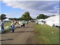
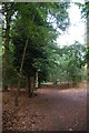
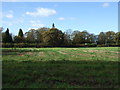
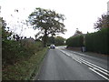
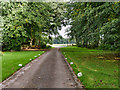
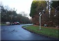
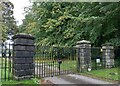
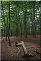
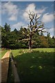
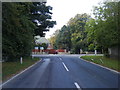
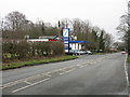
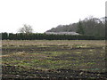
15 photos from this area
Area Information
Key information about the WA16 6QG including its size, population, and administrative classification.
- Area Type
- Postcode
- Area Size
- 6.9 hectares
- Population
- 2379
- Population Density
- 42 people/km²
House Prices in WA16 6QG
21
Properties
£901,769
Average Sold Price
£185,000
Lowest Price
£1,995,000
Highest Price
Showing 21 properties
| Address | Type | Beds | Baths | Last Sale Price | Last Sale Date | |
|---|---|---|---|---|---|---|
| Marlowe, Clamhunger Lane, Mere, WA16 6QG | Detached | 5 | - | £1,450,000 | Jul 2023 | |
| Tresco, Clamhunger Lane, Mere, WA16 6QG | Detached | 5 | 3 | £1,595,000 | Jul 2020 | |
| Meadow Vale, Clamhunger Lane, Mere, WA16 6QG | house | - | - | £1,175,000 | Nov 2017 | |
| Woodstock, Clamhunger Lane, Mere, WA16 6QG | house | - | - | £745,000 | Sep 2017 | |
| Covertside, Clamhunger Lane, Mere, WA16 6QG | house | - | - | £1,070,500 | Aug 2017 | |
| Maple House, Clamhunger Lane, Mere, WA16 6QG | Detached | 5 | 5 | £1,995,000 | Apr 2008 | |
| Ravenstone, Clamhunger Lane, Mere, WA16 6QG | house | 5 | - | £1,015,000 | Aug 2004 | |
| Whitecroft, Clamhunger Lane, Mere, WA16 6QG | house | - | - | £887,500 | Jul 2003 | |
| The Beeches, Clamhunger Lane, Mere, WA16 6QG | Detached | - | - | £460,000 | Aug 2002 | |
| Copperfields, Clamhunger Lane, Mere, WA16 6QG | Detached | 6 | 4 | £580,000 | Jan 2002 |
Page 1 of 3
Energy Efficiency in WA16 6QG
Amenities
Schools
| Rank | School | Type | Entry gender | Ages |
|---|
Explore more schools in this area
Go to Schools tabDemographics
Household Size
Two person
most common
Accommodation Type
Houses
most common
Tenure
62
majority
Ethnic Group
White
most common
Religion
N/A
most common
Household Composition
N/A
most common
Age
47
median
Adults (30-64 years)
most common
Household Deprivation
N/A
with no deprivation
NS-SEC
43
in Lower managerial occupations
Explore more demographic insights in this area
Go to Demographics tabPlanning
Planning Constraints
- Flood RiskPremium
- Ramsar Wetland SitesPremium
- Area of Outstanding Natural BeautyPremium
- Protected Nature ReservePremium
- Protected WoodlandPremium