Area Overview for WA16 6PZ
Photos of WA16 6PZ
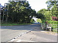
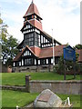
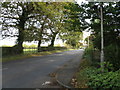
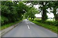
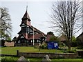
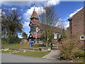
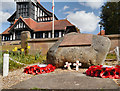
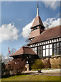
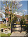
19 photos from this area
Area Information
Key information about the WA16 6PZ including its size, population, and administrative classification.
- Area Type
- Postcode
- Area Size
- 3699 m²
- Population
- 1145
- Population Density
- 562 people/km²
House Prices in WA16 6PZ
6
Properties
£271,333
Average Sold Price
£107,000
Lowest Price
£560,000
Highest Price
Showing 6 properties
| Address | Type | Beds | Baths | Last Sale Price | Last Sale Date | |
|---|---|---|---|---|---|---|
| 25 Pheasant Walk, High Legh, WA16 6PZ | Bungalow | - | - | £560,000 | Dec 2020 | |
| 23 Pheasant Walk, High Legh, WA16 6PZ | Detached | 2 | 2 | £255,000 | Apr 2015 | |
| 33 Pheasant Walk, High Legh, WA16 6PZ | Detached | 4 | - | £315,000 | May 2013 | |
| 29 Pheasant Walk, High Legh, WA16 6PZ | Detached | - | - | £220,000 | Jul 2007 | |
| 27 Pheasant Walk, High Legh, WA16 6PZ | Detached | - | - | £171,000 | Jun 1998 | |
| 31 Pheasant Walk, High Legh, WA16 6PZ | Detached | - | - | £107,000 | Nov 1996 |
Energy Efficiency in WA16 6PZ
Amenities
Schools
| Rank | School | Type | Entry gender | Ages |
|---|
Explore more schools in this area
Go to Schools tabDemographics
Household Size
Two person
most common
Accommodation Type
Houses
most common
Tenure
83
majority
Ethnic Group
White
most common
Religion
N/A
most common
Household Composition
N/A
most common
Age
47
median
Adults (30-64 years)
most common
Household Deprivation
N/A
with no deprivation
NS-SEC
53
in Lower managerial occupations
Explore more demographic insights in this area
Go to Demographics tabPlanning
Planning Constraints
- Flood RiskPremium
- Ramsar Wetland SitesPremium
- Area of Outstanding Natural BeautyPremium
- Protected Nature ReservePremium
- Protected WoodlandPremium