Area Overview for WA16 6PT
Photos of WA16 6PT
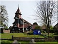
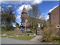
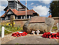
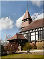
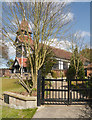
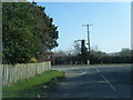
19 photos from this area
Area Information
Key information about the WA16 6PT including its size, population, and administrative classification.
- Area Type
- Postcode
- Area Size
- 1.7 hectares
- Population
- 1145
- Population Density
- 562 people/km²
House Prices in WA16 6PT
34
Properties
£211,814
Average Sold Price
£85,000
Lowest Price
£315,000
Highest Price
Showing 34 properties
| Address | Type | Beds | Baths | Last Sale Price | Last Sale Date | |
|---|---|---|---|---|---|---|
| 19 Egerton, High Legh, WA16 6PT | Detached | - | - | £290,000 | Nov 2008 | |
| 30 Egerton, High Legh, WA16 6PT | Detached | - | - | £311,500 | Apr 2008 | |
| 17 Egerton, High Legh, WA16 6PT | Detached | - | - | £240,000 | Jul 2007 | |
| 38 Egerton, High Legh, WA16 6PT | Bungalow | 3 | 1 | £218,000 | Jul 2006 | |
| 16 Egerton, High Legh, WA16 6PT | Detached | 4 | 3 | £315,000 | Jul 2005 | |
| 14 Egerton, High Legh, WA16 6PT | Detached | - | - | £297,000 | Jan 2005 | |
| 22 Egerton, High Legh, WA16 6PT | house | - | - | £177,500 | Sep 2002 | |
| 21 Egerton, High Legh, WA16 6PT | Detached | - | - | £126,950 | Oct 2000 | |
| 29 Egerton, High Legh, WA16 6PT | Detached | - | - | £161,000 | Oct 1999 | |
| 36 Egerton, High Legh, WA16 6PT | Bungalow | 3 | 1 | £85,000 | Aug 1997 |
Page 1 of 4
Energy Efficiency in WA16 6PT
Amenities
Schools
| Rank | School | Type | Entry gender | Ages |
|---|
Explore more schools in this area
Go to Schools tabDemographics
Household Size
Two person
most common
Accommodation Type
Houses
most common
Tenure
83
majority
Ethnic Group
White
most common
Religion
N/A
most common
Household Composition
N/A
most common
Age
47
median
Adults (30-64 years)
most common
Household Deprivation
N/A
with no deprivation
NS-SEC
53
in Lower managerial occupations
Explore more demographic insights in this area
Go to Demographics tabPlanning
Planning Constraints
- Flood RiskPremium
- Ramsar Wetland SitesPremium
- Area of Outstanding Natural BeautyPremium
- Protected Nature ReservePremium
- Protected WoodlandPremium