Area Overview for WA15 9SF
Photos of WA15 9SF
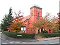
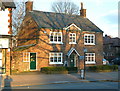
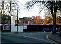
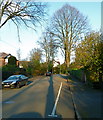
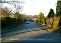
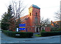
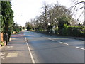
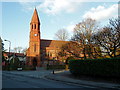
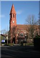
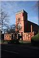
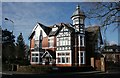
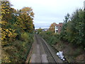
100 photos from this area
Area Information
Key information about the WA15 9SF including its size, population, and administrative classification.
- Area Type
- Postcode
- Area Size
- 7557 m²
- Population
- 1498
- Population Density
- 1696 people/km²
House Prices in WA15 9SF
12
Properties
£3,000
Average Sold Price
£3,000
Lowest Price
£3,000
Highest Price
Showing 12 properties
| Address | Type | Beds | Baths | Last Sale Price | Last Sale Date | |
|---|---|---|---|---|---|---|
| 188A Ashley Road, Hale, WA15 9SF | Flat | - | - | £3,000 | Oct 2017 | |
| 168 Ashley Road, Hale, WA15 9SF | Office | - | - | - | - | |
| M&s Hale Foodhall, Ashley Road, Hale, WA15 9SF | retail_financial | - | - | - | - | |
| 170B Ashley Road, Hale, WA15 9SF | retail_financial | - | - | - | - | |
| Jackson-stops & Staff, 174A Ashley Road, Hale, WA15 9SF | office_workshop | - | - | - | - | |
| Prestbury Travel, 170 Ashley Road, Hale, WA15 9SF | Office | - | - | - | - | |
| 186A Ashley Road, Hale, WA15 9SF | Flat | - | - | - | - | |
| Suite 3, 174A Ashley Road, Hale, WA15 9SF | Office | - | - | - | - | |
| First And Part Second Floors, 158-160 Ashley Road, Hale, WA15 9SF | Office | - | - | - | - | |
| Suite 2, 174A Ashley Road, Hale, WA15 9SF | Office | - | - | - | - |
Page 1 of 2
Energy Efficiency in WA15 9SF
Amenities
Schools
| Rank | School | Type | Entry gender | Ages |
|---|
Explore more schools in this area
Go to Schools tabDemographics
Household Size
Two person
most common
Accommodation Type
Houses
most common
Tenure
81
majority
Ethnic Group
White
most common
Religion
N/A
most common
Household Composition
N/A
most common
Age
47
median
Adults (30-64 years)
most common
Household Deprivation
N/A
with no deprivation
NS-SEC
60
in Lower managerial occupations
Explore more demographic insights in this area
Go to Demographics tabPlanning
Planning Constraints
- Flood RiskPremium
- Ramsar Wetland SitesPremium
- Area of Outstanding Natural BeautyPremium
- Protected Nature ReservePremium
- Protected WoodlandPremium