Area Overview for WA15 9HP
Photos of WA15 9HP
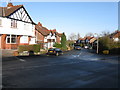
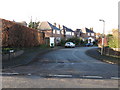
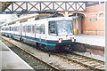
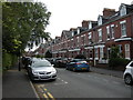
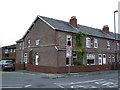
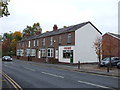

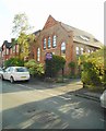
71 photos from this area
Area Information
Key information about the WA15 9HP including its size, population, and administrative classification.
- Area Type
- Postcode
- Area Size
- 9643 m²
- Population
- 2431
- Population Density
- 4892 people/km²
House Prices in WA15 9HP
28
Properties
£617,500
Average Sold Price
£105,000
Lowest Price
£1,225,000
Highest Price
Showing 28 properties
| Address | Type | Beds | Baths | Last Sale Price | Last Sale Date | |
|---|---|---|---|---|---|---|
| 65 Hale Road, Hale, WA15 9HP | Terraced | 5 | 4 | £1,225,000 | Aug 2022 | |
| 53 Hale Road, Hale, WA15 9HP | house | - | - | £890,000 | Oct 2021 | |
| 47 Hale Road, Hale, WA15 9HP | house | - | - | £880,000 | Oct 2021 | |
| 59 Hale Road, Hale, WA15 9HP | Semi-detached | 5 | - | £918,000 | Dec 2020 | |
| 77 Hale Road, Hale, WA15 9HP | Semi-detached | 5 | - | £890,000 | Dec 2020 | |
| 45 Hale Road, Hale, WA15 9HP | house | - | - | £650,000 | Jan 2016 | |
| 79 Hale Road, Hale, WA15 9HP | Semi-detached | 5 | - | £680,000 | Dec 2015 | |
| Heatherlea, 41B Hale Road, Hale, WA15 9HP | Semi-detached | 5 | 2 | £655,000 | Feb 2015 | |
| 83B Hale Road, Hale, WA15 9HP | Maisonette | 3 | - | £362,500 | Feb 2014 | |
| 63 Hale Road, Hale, WA15 9HP | Terraced | 5 | - | £500,000 | Jun 2013 |
Page 1 of 3
Energy Efficiency in WA15 9HP
Amenities
Schools
| Rank | School | Type | Entry gender | Ages |
|---|
Explore more schools in this area
Go to Schools tabDemographics
Household Size
Family (3-5 people)
most common
Accommodation Type
Houses
most common
Tenure
61
majority
Ethnic Group
White
most common
Religion
N/A
most common
Household Composition
N/A
most common
Age
47
median
Adults (30-64 years)
most common
Household Deprivation
N/A
with no deprivation
NS-SEC
53
in Lower managerial occupations
Explore more demographic insights in this area
Go to Demographics tabPlanning
Planning Constraints
- Flood RiskPremium
- Ramsar Wetland SitesPremium
- Area of Outstanding Natural BeautyPremium
- Protected Nature ReservePremium
- Protected WoodlandPremium