Area Overview for WA15 9AJ
Photos of WA15 9AJ
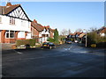
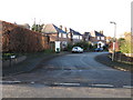
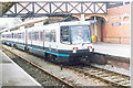
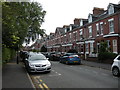
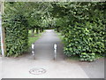
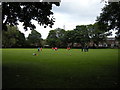
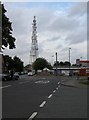
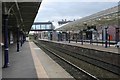
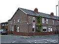
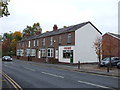

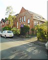
71 photos from this area
Area Information
Key information about the WA15 9AJ including its size, population, and administrative classification.
- Area Type
- Postcode
- Area Size
- 3538 m²
- Population
- 1630
- Population Density
- 7522 people/km²
House Prices in WA15 9AJ
12
Properties
£483,438
Average Sold Price
£130,000
Lowest Price
£987,000
Highest Price
Showing 12 properties
| Address | Type | Beds | Baths | Last Sale Price | Last Sale Date | |
|---|---|---|---|---|---|---|
| 40 Albert Road, Hale, WA15 9AJ | house | - | - | £610,000 | Oct 2022 | |
| 24 Albert Road, Hale, WA15 9AJ | Terraced | 3 | 2 | £987,000 | Apr 2022 | |
| 42 Albert Road, Hale, WA15 9AJ | Semi-detached | 5 | - | £565,000 | Mar 2018 | |
| 20 Albert Road, Hale, WA15 9AJ | Terraced | 5 | 4 | £620,000 | Nov 2009 | |
| 32 Albert Road, Hale, WA15 9AJ | house | - | - | £468,000 | May 2009 | |
| 34 Albert Road, Hale, WA15 9AJ | Detached | - | - | £322,500 | Mar 2004 | |
| 36 Albert Road, Hale, WA15 9AJ | Detached | - | - | £165,000 | Apr 1998 | |
| 30 Albert Road, Hale, WA15 9AJ | Terraced | - | - | £130,000 | Sep 1996 | |
| 22 Albert Road, Hale, WA15 9AJ | Terraced | - | - | - | - | |
| 38 Albert Road, Hale, WA15 9AJ | house | - | - | - | - |
Page 1 of 2
Energy Efficiency in WA15 9AJ
Amenities
Schools
| Rank | School | Type | Entry gender | Ages |
|---|
Explore more schools in this area
Go to Schools tabDemographics
Household Size
Family (3-5 people)
most common
Accommodation Type
Houses
most common
Tenure
75
majority
Ethnic Group
White
most common
Religion
N/A
most common
Household Composition
N/A
most common
Age
47
median
Adults (30-64 years)
most common
Household Deprivation
N/A
with no deprivation
NS-SEC
60
in Lower managerial occupations
Explore more demographic insights in this area
Go to Demographics tabPlanning
Planning Constraints
- Flood RiskPremium
- Ramsar Wetland SitesPremium
- Area of Outstanding Natural BeautyPremium
- Protected Nature ReservePremium
- Protected WoodlandPremium