Area Overview for WA11 8AZ
Photos of WA11 8AZ
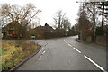
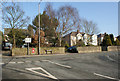
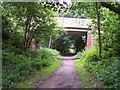
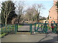
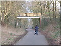
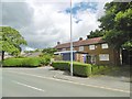
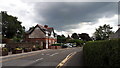
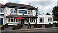

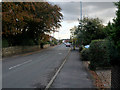
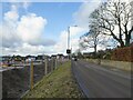
25 photos from this area
Area Information
Key information about the WA11 8AZ including its size, population, and administrative classification.
- Area Type
- Postcode
- Area Size
- 1.5 hectares
- Population
- 1182
- Population Density
- 1626 people/km²
House Prices in WA11 8AZ
15
Properties
£406,864
Average Sold Price
£170,000
Lowest Price
£1,150,000
Highest Price
Showing 15 properties
| Address | Type | Beds | Baths | Last Sale Price | Last Sale Date | |
|---|---|---|---|---|---|---|
| 106A Higher Lane, Rainford, St Helens, WA11 8AZ | Detached | 5 | 4 | £1,150,000 | Sep 2024 | |
| 112 Higher Lane, Rainford, St Helens, WA11 8AZ | Bungalow | - | - | £314,000 | Sep 2021 | |
| 106 Higher Lane, Rainford, St Helens, WA11 8AZ | house | - | - | £505,000 | Sep 2021 | |
| 120 Higher Lane, Rainford, St Helens, WA11 8AZ | Bungalow | - | - | £442,450 | Jun 2018 | |
| 118 Higher Lane, Rainford, St Helens, WA11 8AZ | Detached | 4 | 3 | £310,050 | Apr 2017 | |
| 100 Higher Lane, Rainford, St Helens, WA11 8AZ | house | 4 | - | £290,000 | Oct 2014 | |
| 110A Higher Lane, Rainford, St Helens, WA11 8AZ | Bungalow | - | - | £170,000 | Sep 2013 | |
| 126 Higher Lane, Rainford, St Helens, WA11 8AZ | Bungalow | - | - | £499,000 | Mar 2012 | |
| 110 Higher Lane, Rainford, St Helens, WA11 8AZ | house | - | - | £227,000 | May 2010 | |
| 122 Higher Lane, Rainford, St Helens, WA11 8AZ | Detached | - | - | £325,000 | Oct 2007 |
Page 1 of 2
Energy Efficiency in WA11 8AZ
Amenities
Schools
| Rank | School | Type | Entry gender | Ages |
|---|
Explore more schools in this area
Go to Schools tabDemographics
Household Size
Two person
most common
Accommodation Type
Houses
most common
Tenure
93
majority
Ethnic Group
White
most common
Religion
N/A
most common
Household Composition
N/A
most common
Age
47
median
Adults (30-64 years)
most common
Household Deprivation
N/A
with no deprivation
NS-SEC
47
in Lower managerial occupations
Explore more demographic insights in this area
Go to Demographics tabPlanning
Planning Constraints
- Flood RiskPremium
- Ramsar Wetland SitesPremium
- Area of Outstanding Natural BeautyPremium
- Protected Nature ReservePremium
- Protected WoodlandPremium