Area Overview for WA11 0UJ
Photos of WA11 0UJ
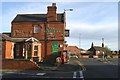
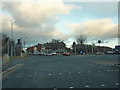
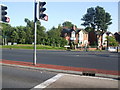
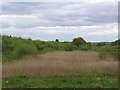
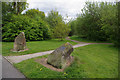
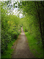
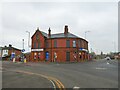
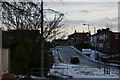
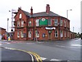
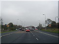
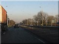
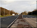
24 photos from this area
Area Information
Key information about the WA11 0UJ including its size, population, and administrative classification.
- Area Type
- Postcode
- Area Size
- 5861 m²
- Population
- 1450
- Population Density
- 5740 people/km²
House Prices in WA11 0UJ
11
Properties
£62,000
Average Sold Price
£31,500
Lowest Price
£98,000
Highest Price
Showing 11 properties
| Address | Type | Beds | Baths | Last Sale Price | Last Sale Date | |
|---|---|---|---|---|---|---|
| 30 Vicarage Road, Haydock, St Helens, WA11 0UJ | Terraced | 2 | 1 | £98,000 | Mar 2025 | |
| 38 Vicarage Road, Haydock, St Helens, WA11 0UJ | Terraced | 2 | - | £65,000 | Dec 2024 | |
| 40 Vicarage Road, Haydock, St Helens, WA11 0UJ | Terraced | 2 | 1 | £80,000 | Apr 2008 | |
| 32 Vicarage Road, Haydock, St Helens, WA11 0UJ | Terraced | - | - | £35,500 | Apr 2003 | |
| 24 Vicarage Road, Haydock, St Helens, WA11 0UJ | Terraced | - | - | £31,500 | Oct 2001 | |
| 28 Vicarage Road, Haydock, St Helens, WA11 0UJ | Terraced | - | - | - | - | |
| 26 Vicarage Road, Haydock, St Helens, WA11 0UJ | Terraced | 2 | 1 | - | - | |
| 34 Vicarage Road, Haydock, St Helens, WA11 0UJ | Terraced | - | - | - | - | |
| 36 Vicarage Road, Haydock, St Helens, WA11 0UJ | house | - | - | - | - | |
| The Unit, Vicarage Road, Haydock, St Helens, WA11 0UJ | warehouse | - | - | - | - |
Page 1 of 2
Energy Efficiency in WA11 0UJ
Amenities
Schools
| Rank | School | Type | Entry gender | Ages |
|---|
Explore more schools in this area
Go to Schools tabDemographics
Household Size
One person
most common
Accommodation Type
Houses
most common
Tenure
56
majority
Ethnic Group
White
most common
Religion
N/A
most common
Household Composition
N/A
most common
Age
47
median
Adults (30-64 years)
most common
Household Deprivation
N/A
with no deprivation
NS-SEC
18
in Lower managerial occupations
Explore more demographic insights in this area
Go to Demographics tabPlanning
Planning Constraints
- Flood RiskPremium
- Ramsar Wetland SitesPremium
- Area of Outstanding Natural BeautyPremium
- Protected Nature ReservePremium
- Protected WoodlandPremium