Area Overview for SK9 6EH
Photos of SK9 6EH
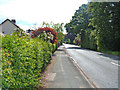
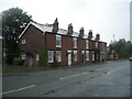
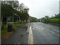
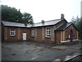
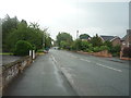
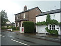
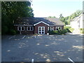
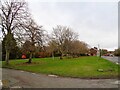
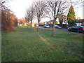
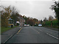
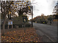
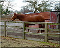
14 photos from this area
Area Information
Key information about the SK9 6EH including its size, population, and administrative classification.
- Area Type
- Postcode
- Area Size
- 5.6 hectares
- Population
- 1970
- Population Density
- 2763 people/km²
House Prices in SK9 6EH
23
Properties
£420,353
Average Sold Price
£95,000
Lowest Price
£879,000
Highest Price
Showing 23 properties
| Address | Type | Beds | Baths | Last Sale Price | Last Sale Date | |
|---|---|---|---|---|---|---|
| White House, Upcast Lane, Wilmslow, SK9 6EH | Detached | 3 | 3 | £879,000 | Aug 2025 | |
| 22 Upcast Lane, Wilmslow, SK9 6EH | Terraced | 3 | 1 | £485,000 | Dec 2024 | |
| 16 Upcast Lane, Wilmslow, SK9 6EH | house | 2 | 1 | £400,000 | Nov 2022 | |
| 18 Upcast Lane, Wilmslow, SK9 6EH | house | 2 | - | £387,500 | May 2018 | |
| 26 Upcast Lane, Wilmslow, SK9 6EH | house | - | - | £340,000 | Jul 2017 | |
| Lawrieston Cottage, 12 Upcast Lane, Wilmslow, SK9 6EH | house | - | - | £671,000 | Mar 2017 | |
| Beech Cottage, Upcast Lane, Wilmslow, SK9 6EH | Detached | 4 | - | £560,000 | Aug 2014 | |
| 8 Upcast Lane, Wilmslow, SK9 6EH | house | - | - | £725,000 | Jun 2011 | |
| 5 Upcast Lane, Wilmslow, SK9 6EH | Detached | 4 | 2 | £485,000 | Feb 2011 | |
| 6B Upcast Lane, Wilmslow, SK9 6EH | Flat | 1 | 1 | £360,000 | Mar 2009 |
Page 1 of 3
Energy Efficiency in SK9 6EH
Amenities
Schools
| Rank | School | Type | Entry gender | Ages |
|---|
Explore more schools in this area
Go to Schools tabDemographics
Household Size
Family (3-5 people)
most common
Accommodation Type
Houses
most common
Tenure
85
majority
Ethnic Group
White
most common
Religion
N/A
most common
Household Composition
N/A
most common
Age
47
median
Adults (30-64 years)
most common
Household Deprivation
N/A
with no deprivation
NS-SEC
54
in Lower managerial occupations
Explore more demographic insights in this area
Go to Demographics tabPlanning
Planning Constraints
- Flood RiskPremium
- Ramsar Wetland SitesPremium
- Area of Outstanding Natural BeautyPremium
- Protected Nature ReservePremium
- Protected WoodlandPremium