Area Overview for SK9 7SF
Photos of SK9 7SF
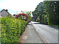
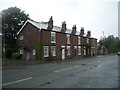
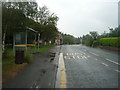
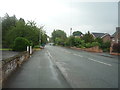
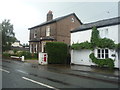
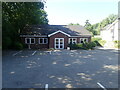
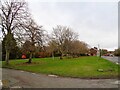
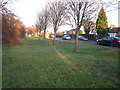
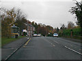
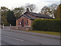
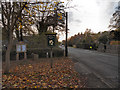
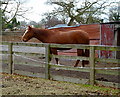
14 photos from this area
Area Information
Key information about the SK9 7SF including its size, population, and administrative classification.
- Area Type
- Postcode
- Area Size
- 35.0 hectares
- Population
- 1784
- Population Density
- 378 people/km²
House Prices in SK9 7SF
51
Properties
£377,475
Average Sold Price
£309,950
Lowest Price
£445,000
Highest Price
Showing 51 properties
| Address | Type | Beds | Baths | Last Sale Price | Last Sale Date | |
|---|---|---|---|---|---|---|
| The Homestead, 36 Knutsford Road, Alderley Edge, SK9 7SF | Retail | 3 | 1 | £445,000 | Oct 2022 | |
| Chorley Lodge, Knutsford Road, Alderley Edge, SK9 7SF | Detached | - | - | £309,950 | Jul 2002 | |
| Field View, 64 Knutsford Road, Alderley Edge, SK9 7SF | Bungalow | 5 | 6 | - | - | |
| 34A Knutsford Road, Alderley Edge, SK9 7SF | Semi-detached | 3 | 2 | - | - | |
| 34B Knutsford Road, Alderley Edge, SK9 7SF | Terraced | 3 | 2 | - | - | |
| 32A Knutsford Road, Alderley Edge, SK9 7SF | Semi-detached | 5 | 4 | - | - | |
| 74A Knutsford Road, Alderley Edge, SK9 7SF | Semi-detached | 5 | 4 | - | - | |
| 56 Knutsford Road, Alderley Edge, SK9 7SF | Terraced | 2 | 1 | - | - | |
| 52 Knutsford Road, Alderley Edge, SK9 7SF | Cottage | 2 | 1 | - | - | |
| 62 Knutsford Road, Alderley Edge, SK9 7SF | house | 5 | 3 | - | - |
Page 1 of 6
Energy Efficiency in SK9 7SF
Amenities
Schools
| Rank | School | Type | Entry gender | Ages |
|---|
Explore more schools in this area
Go to Schools tabDemographics
Household Size
Two person
most common
Accommodation Type
Houses
most common
Tenure
84
majority
Ethnic Group
White
most common
Religion
N/A
most common
Household Composition
N/A
most common
Age
47
median
Adults (30-64 years)
most common
Household Deprivation
N/A
with no deprivation
NS-SEC
51
in Lower managerial occupations
Explore more demographic insights in this area
Go to Demographics tabPlanning
Planning Constraints
- Flood RiskPremium
- Ramsar Wetland SitesPremium
- Area of Outstanding Natural BeautyPremium
- Protected Nature ReservePremium
- Protected WoodlandPremium