Area Overview for SK8 3BT
Photos of SK8 3BT
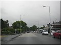
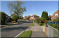
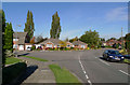
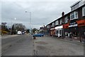


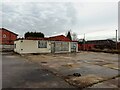
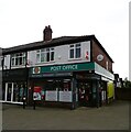
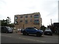
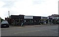
30 photos from this area
Area Information
Key information about the SK8 3BT including its size, population, and administrative classification.
- Area Type
- Postcode
- Area Size
- 1.7 hectares
- Population
- 2083
- Population Density
- 1780 people/km²
House Prices in SK8 3BT
46
Properties
£224,558
Average Sold Price
£225
Lowest Price
£446,000
Highest Price
Showing 46 properties
| Address | Type | Beds | Baths | Last Sale Price | Last Sale Date | |
|---|---|---|---|---|---|---|
| 20 Sudbury Drive, Heald Green, Cheadle, SK8 3BT | house | - | - | £360,000 | Oct 2025 | |
| 23 Sudbury Drive, Heald Green, Cheadle, SK8 3BT | Semi-detached | 3 | 2 | £370,000 | Aug 2025 | |
| 55 Sudbury Drive, Heald Green, Cheadle, SK8 3BT | Semi-detached | 3 | 1 | £385,000 | Feb 2025 | |
| 49 Sudbury Drive, Heald Green, Cheadle, SK8 3BT | Semi-detached | 4 | 2 | £446,000 | Mar 2024 | |
| 47 Sudbury Drive, Heald Green, Cheadle, SK8 3BT | house | - | - | £385,000 | Dec 2022 | |
| 31 Sudbury Drive, Heald Green, Cheadle, SK8 3BT | Semi-detached | 3 | 1 | £370,000 | Sep 2022 | |
| 17 Sudbury Drive, Heald Green, Cheadle, SK8 3BT | Semi-detached | 3 | 1 | £280,000 | Jul 2022 | |
| 8 Sudbury Drive, Heald Green, Cheadle, SK8 3BT | house | 4 | 2 | £330,000 | Feb 2021 | |
| 21 Sudbury Drive, Heald Green, Cheadle, SK8 3BT | house | 3 | 1 | £285,000 | Jul 2020 | |
| 37 Sudbury Drive, Heald Green, Cheadle, SK8 3BT | house | - | - | £270,000 | Aug 2019 |
Page 1 of 5
Energy Efficiency in SK8 3BT
Amenities
Schools
| Rank | School | Type | Entry gender | Ages |
|---|
Explore more schools in this area
Go to Schools tabDemographics
Household Size
Family (3-5 people)
most common
Accommodation Type
Houses
most common
Tenure
90
majority
Ethnic Group
White
most common
Religion
N/A
most common
Household Composition
N/A
most common
Age
47
median
Adults (30-64 years)
most common
Household Deprivation
N/A
with no deprivation
NS-SEC
44
in Lower managerial occupations
Explore more demographic insights in this area
Go to Demographics tabPlanning
Planning Constraints
- Flood RiskPremium
- Ramsar Wetland SitesPremium
- Area of Outstanding Natural BeautyPremium
- Protected Nature ReservePremium
- Protected WoodlandPremium