Area Overview for SK8 3BS
Photos of SK8 3BS
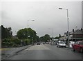
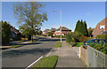
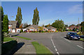
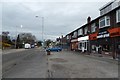

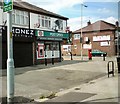

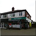
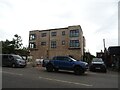
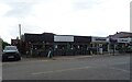
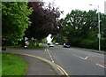
30 photos from this area
Area Information
Key information about the SK8 3BS including its size, population, and administrative classification.
- Area Type
- Postcode
- Area Size
- 1.2 hectares
- Population
- 2083
- Population Density
- 1780 people/km²
House Prices in SK8 3BS
31
Properties
£249,198
Average Sold Price
£13,000
Lowest Price
£510,000
Highest Price
Showing 31 properties
| Address | Type | Beds | Baths | Last Sale Price | Last Sale Date | |
|---|---|---|---|---|---|---|
| 105 East Avenue, Heald Green, Cheadle, SK8 3BS | Detached | 3 | 1 | £427,450 | Dec 2025 | |
| 137 East Avenue, Heald Green, Cheadle, SK8 3BS | Detached | 5 | 2 | £435,000 | Sep 2024 | |
| 115 East Avenue, Heald Green, Cheadle, SK8 3BS | house | 4 | 1 | £510,000 | Aug 2023 | |
| 92 East Avenue, Heald Green, Cheadle, SK8 3BS | house | - | - | £417,008 | Aug 2022 | |
| 90 East Avenue, Heald Green, Cheadle, SK8 3BS | Detached | - | - | £215,000 | Sep 2021 | |
| 94 East Avenue, Heald Green, Cheadle, SK8 3BS | Semi-detached | 3 | 1 | £290,000 | Jan 2021 | |
| 117 East Avenue, Heald Green, Cheadle, SK8 3BS | Detached | 4 | 1 | £360,000 | Oct 2020 | |
| 111 East Avenue, Heald Green, Cheadle, SK8 3BS | house | - | - | £280,000 | Apr 2019 | |
| 119 East Avenue, Heald Green, Cheadle, SK8 3BS | Detached | 3 | 1 | £289,000 | Sep 2018 | |
| 109 East Avenue, Heald Green, Cheadle, SK8 3BS | Detached | 3 | 2 | £284,000 | Aug 2018 |
Page 1 of 4
Energy Efficiency in SK8 3BS
Amenities
Schools
| Rank | School | Type | Entry gender | Ages |
|---|
Explore more schools in this area
Go to Schools tabDemographics
Household Size
Family (3-5 people)
most common
Accommodation Type
Houses
most common
Tenure
90
majority
Ethnic Group
White
most common
Religion
N/A
most common
Household Composition
N/A
most common
Age
47
median
Adults (30-64 years)
most common
Household Deprivation
N/A
with no deprivation
NS-SEC
44
in Lower managerial occupations
Explore more demographic insights in this area
Go to Demographics tabPlanning
Planning Constraints
- Flood RiskPremium
- Ramsar Wetland SitesPremium
- Area of Outstanding Natural BeautyPremium
- Protected Nature ReservePremium
- Protected WoodlandPremium