Area Overview for SK7 6AA
Photos of SK7 6AA
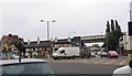

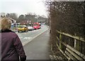
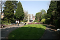
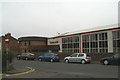
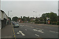
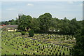
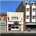
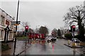
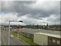
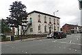
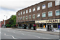
92 photos from this area
Area Information
Key information about the SK7 6AA including its size, population, and administrative classification.
- Area Type
- Postcode
- Area Size
- 1.5 hectares
- Population
- 1833
- Population Density
- 3134 people/km²
House Prices in SK7 6AA
26
Properties
£92,454
Average Sold Price
£16,400
Lowest Price
£166,000
Highest Price
Showing 26 properties
| Address | Type | Beds | Baths | Last Sale Price | Last Sale Date | |
|---|---|---|---|---|---|---|
| 389A London Road, Hazel Grove, Stockport, SK7 6AA | Semi-detached | - | - | £75,000 | Feb 2023 | |
| 355 London Road, Hazel Grove, Stockport, SK7 6AA | Terraced | 2 | 1 | £166,000 | Sep 2021 | |
| 387 London Road, Hazel Grove, Stockport, SK7 6AA | Terraced | 2 | - | £125,000 | Apr 2021 | |
| 359 London Road, Hazel Grove, Stockport, SK7 6AA | Terraced | 2 | 1 | £134,000 | Nov 2020 | |
| 357 London Road, Hazel Grove, Stockport, SK7 6AA | Terraced | 2 | 1 | £92,000 | Mar 2017 | |
| 377 London Road, Hazel Grove, Stockport, SK7 6AA | house | - | - | £116,000 | Dec 2016 | |
| 353 London Road, Hazel Grove, Stockport, SK7 6AA | Terraced | 2 | 1 | £114,000 | Dec 2016 | |
| 379 London Road, Hazel Grove, Stockport, SK7 6AA | house | - | - | £75,000 | Aug 2013 | |
| 371 London Road, Hazel Grove, Stockport, SK7 6AA | house | - | - | £103,500 | Feb 2010 | |
| 369 London Road, Hazel Grove, Stockport, SK7 6AA | house | - | - | £79,500 | May 2004 |
Page 1 of 3
Energy Efficiency in SK7 6AA
Amenities
Schools
| Rank | School | Type | Entry gender | Ages |
|---|
Explore more schools in this area
Go to Schools tabDemographics
Household Size
Two person
most common
Accommodation Type
Houses
most common
Tenure
79
majority
Ethnic Group
White
most common
Religion
N/A
most common
Household Composition
N/A
most common
Age
47
median
Adults (30-64 years)
most common
Household Deprivation
N/A
with no deprivation
NS-SEC
38
in Lower managerial occupations
Explore more demographic insights in this area
Go to Demographics tabPlanning
Planning Constraints
- Flood RiskPremium
- Ramsar Wetland SitesPremium
- Area of Outstanding Natural BeautyPremium
- Protected Nature ReservePremium
- Protected WoodlandPremium