Area Overview for SK7 4RD
Photos of SK7 4RD
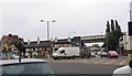
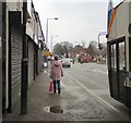
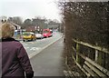
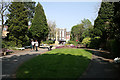
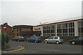
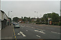
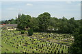
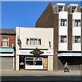
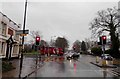
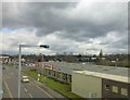
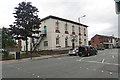
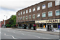
92 photos from this area
Area Information
Key information about the SK7 4RD including its size, population, and administrative classification.
- Area Type
- Postcode
- Area Size
- 1.1 hectares
- Population
- 1833
- Population Density
- 3134 people/km²
House Prices in SK7 4RD
14
Properties
£147,818
Average Sold Price
£36,000
Lowest Price
£220,000
Highest Price
Showing 14 properties
| Address | Type | Beds | Baths | Last Sale Price | Last Sale Date | |
|---|---|---|---|---|---|---|
| 286 London Road, Hazel Grove, Stockport, SK7 4RD | Semi-detached | 3 | 1 | £220,000 | Dec 2024 | |
| 270 London Road, Hazel Grove, Stockport, SK7 4RD | house | - | - | £110,000 | Dec 2022 | |
| 280 London Road, Hazel Grove, Stockport, SK7 4RD | Semi-detached | 3 | - | £215,000 | Apr 2022 | |
| 284 London Road, Hazel Grove, Stockport, SK7 4RD | Semi-detached | 3 | 1 | £180,000 | Apr 2021 | |
| 278 London Road, Hazel Grove, Stockport, SK7 4RD | Semi-detached | 3 | 1 | £185,000 | Nov 2019 | |
| 290 London Road, Hazel Grove, Stockport, SK7 4RD | house | - | - | £160,000 | Jun 2017 | |
| 288 London Road, Hazel Grove, Stockport, SK7 4RD | Semi-detached | 3 | 1 | £175,000 | Apr 2017 | |
| 272 London Road, Hazel Grove, Stockport, SK7 4RD | Terraced | 2 | 1 | £78,000 | Dec 2014 | |
| 282 London Road, Hazel Grove, Stockport, SK7 4RD | house | - | - | £132,000 | Jun 2010 | |
| 276 London Road, Hazel Grove, Stockport, SK7 4RD | house | - | - | £135,000 | Apr 2004 |
Page 1 of 2
Energy Efficiency in SK7 4RD
Amenities
Schools
| Rank | School | Type | Entry gender | Ages |
|---|
Explore more schools in this area
Go to Schools tabDemographics
Household Size
Two person
most common
Accommodation Type
Houses
most common
Tenure
79
majority
Ethnic Group
White
most common
Religion
N/A
most common
Household Composition
N/A
most common
Age
47
median
Adults (30-64 years)
most common
Household Deprivation
N/A
with no deprivation
NS-SEC
38
in Lower managerial occupations
Explore more demographic insights in this area
Go to Demographics tabPlanning
Planning Constraints
- Flood RiskPremium
- Ramsar Wetland SitesPremium
- Area of Outstanding Natural BeautyPremium
- Protected Nature ReservePremium
- Protected WoodlandPremium