Area Overview for SK7 1RL
Photos of SK7 1RL
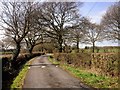
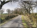
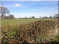
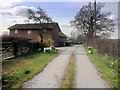
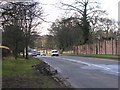
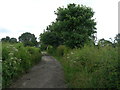
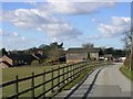
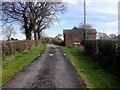
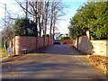
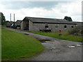
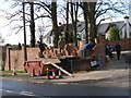
11 photos from this area
Area Information
Key information about the SK7 1RL including its size, population, and administrative classification.
- Area Type
- Postcode
- Area Size
- 28.2 hectares
- Population
- 2242
- Population Density
- 389 people/km²
House Prices in SK7 1RL
8
Properties
£224,792
Average Sold Price
£89,250
Lowest Price
£355,000
Highest Price
Showing 8 properties
| Address | Type | Beds | Baths | Last Sale Price | Last Sale Date | |
|---|---|---|---|---|---|---|
| 7 King Street, Woodford, Stockport, SK7 1RL | house | - | - | £355,000 | Jan 2018 | |
| 1 King Street, Woodford, Stockport, SK7 1RL | house | 2 | - | £322,000 | Jul 2017 | |
| 2 King Street, Woodford, Stockport, SK7 1RL | house | - | - | £220,000 | Aug 2008 | |
| 5 King Street, Woodford, Stockport, SK7 1RL | Detached | 4 | 3 | £227,500 | Jan 2008 | |
| 4 King Street, Woodford, Stockport, SK7 1RL | Terraced | - | - | £135,000 | Sep 2001 | |
| 3 King Street, Woodford, Stockport, SK7 1RL | house | - | - | £89,250 | May 1999 | |
| 6 King Street, Woodford, Stockport, SK7 1RL | Detached | 2 | - | - | - | |
| R F Fielding Hay & Straw Ltd, Warehouse, Dean Farm, King Street, Woodford, Stockport, SK7 1RL | warehouse | - | - | - | - |
Energy Efficiency in SK7 1RL
Amenities
Schools
| Rank | School | Type | Entry gender | Ages |
|---|
Explore more schools in this area
Go to Schools tabDemographics
Household Size
Family (3-5 people)
most common
Accommodation Type
Houses
most common
Tenure
91
majority
Ethnic Group
White
most common
Religion
N/A
most common
Household Composition
N/A
most common
Age
47
median
Adults (30-64 years)
most common
Household Deprivation
N/A
with no deprivation
NS-SEC
57
in Lower managerial occupations
Explore more demographic insights in this area
Go to Demographics tabPlanning
Planning Constraints
- Flood RiskPremium
- Ramsar Wetland SitesPremium
- Area of Outstanding Natural BeautyPremium
- Protected Nature ReservePremium
- Protected WoodlandPremium