Area Overview for SK7 1RF
Photos of SK7 1RF
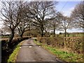
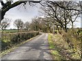
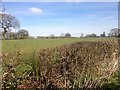
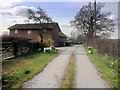
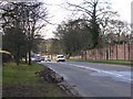
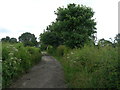
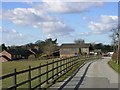
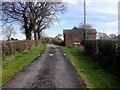
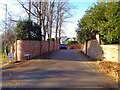
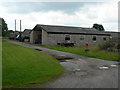
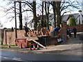
11 photos from this area
Area Information
Key information about the SK7 1RF including its size, population, and administrative classification.
- Area Type
- Postcode
- Area Size
- 74.5 hectares
- Population
- 1781
- Population Density
- 615 people/km²
House Prices in SK7 1RF
9
Properties
£535,988
Average Sold Price
£103,500
Lowest Price
£1,175,000
Highest Price
Showing 9 properties
| Address | Type | Beds | Baths | Last Sale Price | Last Sale Date | |
|---|---|---|---|---|---|---|
| Grove End Farm, Blossoms Lane, Woodford, SK7 1RF | Detached | 5 | 1 | £1,175,000 | Dec 2024 | |
| Blue Bell Cottage, Blossoms Lane, Woodford, SK7 1RF | house | - | - | £465,450 | Nov 2022 | |
| Primrose Cottage, Blossoms Lane, Woodford, SK7 1RF | Semi-detached | 3 | 1 | £400,000 | Nov 2020 | |
| Fir Trees, Blossoms Lane, Woodford, SK7 1RF | Bungalow | 3 | 1 | £103,500 | Mar 1998 | |
| The Old Hay Barn, Blossoms Farm, Blossoms Lane, Woodford, SK7 1RF | Detached | 4 | 3 | - | - | |
| Blossoms Farm, Blossoms Lane, Woodford, SK7 1RF | Detached | 4 | - | - | - | |
| Grove End Farm Bungalow, Blossoms Lane, Woodford, SK7 1RF | Detached | - | - | - | - | |
| Blossoms Turkey Farm, Blossoms Lane, Woodford, SK7 1RF | Bungalow | - | - | - | - | |
| Blossoms Barn, Blossoms Lane, Woodford, Stockport, SK7 1RF | Detached | - | - | - | - |
Energy Efficiency in SK7 1RF
Amenities
Schools
| Rank | School | Type | Entry gender | Ages |
|---|
Explore more schools in this area
Go to Schools tabDemographics
Household Size
One person
most common
Accommodation Type
Houses
most common
Tenure
79
majority
Ethnic Group
White
most common
Religion
N/A
most common
Household Composition
N/A
most common
Age
47
median
Adults (30-64 years)
most common
Household Deprivation
N/A
with no deprivation
NS-SEC
48
in Lower managerial occupations
Explore more demographic insights in this area
Go to Demographics tabPlanning
Planning Constraints
- Flood RiskPremium
- Ramsar Wetland SitesPremium
- Area of Outstanding Natural BeautyPremium
- Protected Nature ReservePremium
- Protected WoodlandPremium