Area Overview for SK16 5JJ
Photos of SK16 5JJ
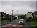
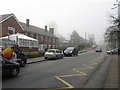
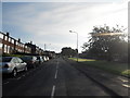
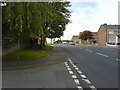
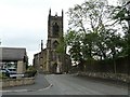
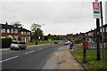
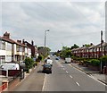
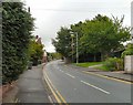
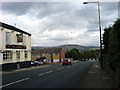
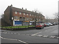
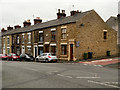
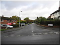
32 photos from this area
Area Information
Key information about the SK16 5JJ including its size, population, and administrative classification.
- Area Type
- Postcode
- Area Size
- 1.6 hectares
- Population
- 1366
- Population Density
- 6667 people/km²
House Prices in SK16 5JJ
62
Properties
£103,872
Average Sold Price
£23,000
Lowest Price
£250,000
Highest Price
Showing 62 properties
| Address | Type | Beds | Baths | Last Sale Price | Last Sale Date | |
|---|---|---|---|---|---|---|
| 132 Cheetham Hill Road, Dukinfield, SK16 5JJ | Terraced | 2 | 1 | £177,000 | Aug 2025 | |
| 10 Cheetham Hill Road, Dukinfield, SK16 5JJ | Terraced | 3 | 2 | £112,000 | Jul 2024 | |
| 102 Cheetham Hill Road, Dukinfield, SK16 5JJ | Terraced | 2 | 1 | £150,000 | May 2024 | |
| 54 Cheetham Hill Road, Dukinfield, SK16 5JJ | Semi-detached | 3 | 2 | £250,000 | Dec 2022 | |
| 100 Cheetham Hill Road, Dukinfield, SK16 5JJ | Terraced | 2 | 1 | £100,000 | Jul 2022 | |
| 106 Cheetham Hill Road, Dukinfield, SK16 5JJ | house | 2 | 1 | £135,500 | Apr 2022 | |
| 60 Cheetham Hill Road, Dukinfield, SK16 5JJ | Bungalow | - | - | £195,000 | Jan 2022 | |
| 46 Cheetham Hill Road, Dukinfield, SK16 5JJ | house | - | - | £125,000 | Dec 2021 | |
| 58 Cheetham Hill Road, Dukinfield, SK16 5JJ | Bungalow | - | - | £200,000 | Dec 2021 | |
| 94 Cheetham Hill Road, Dukinfield, SK16 5JJ | Terraced | 2 | 1 | £110,000 | Dec 2021 |
Page 1 of 7
Energy Efficiency in SK16 5JJ
Amenities
Schools
| Rank | School | Type | Entry gender | Ages |
|---|
Explore more schools in this area
Go to Schools tabDemographics
Household Size
Two person
most common
Accommodation Type
Houses
most common
Tenure
73
majority
Ethnic Group
White
most common
Religion
N/A
most common
Household Composition
N/A
most common
Age
47
median
Adults (30-64 years)
most common
Household Deprivation
N/A
with no deprivation
NS-SEC
26
in Lower managerial occupations
Explore more demographic insights in this area
Go to Demographics tabPlanning
Planning Constraints
- Flood RiskPremium
- Ramsar Wetland SitesPremium
- Area of Outstanding Natural BeautyPremium
- Protected Nature ReservePremium
- Protected WoodlandPremium