Area Overview for SK15 1TU
Photos of SK15 1TU
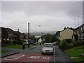
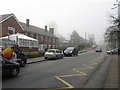
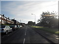
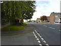
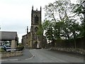
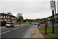
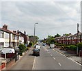
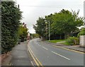
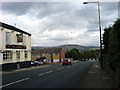
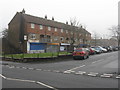
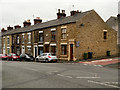
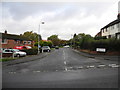
32 photos from this area
Area Information
Key information about the SK15 1TU including its size, population, and administrative classification.
- Area Type
- Postcode
- Area Size
- 9660 m²
- Population
- 1366
- Population Density
- 6667 people/km²
House Prices in SK15 1TU
24
Properties
£129,501
Average Sold Price
£37,950
Lowest Price
£225,000
Highest Price
Showing 24 properties
| Address | Type | Beds | Baths | Last Sale Price | Last Sale Date | |
|---|---|---|---|---|---|---|
| 19 Cheetham Hill Road, Stalybridge, SK15 1TU | Terraced | 2 | 1 | £137,500 | Sep 2022 | |
| 1 Cheetham Hill Road, Stalybridge, SK15 1TU | Detached | 4 | 2 | £165,750 | Jan 2021 | |
| 3 Cheetham Hill Road, Stalybridge, SK15 1TU | house | - | - | £97,500 | Jan 2021 | |
| 11 Cheetham Hill Road, Stalybridge, SK15 1TU | Terraced | 3 | 1 | £130,000 | May 2019 | |
| 26A Cheetham Hill Road, Stalybridge, SK15 1TU | Bungalow | 3 | 1 | £225,000 | Apr 2019 | |
| 34 Cheetham Hill Road, Stalybridge, SK15 1TU | Terraced | 2 | 1 | £95,000 | Apr 2019 | |
| 26 Cheetham Hill Road, Stalybridge, SK15 1TU | Detached | 3 | 1 | £145,000 | Sep 2018 | |
| 32 Cheetham Hill Road, Stalybridge, SK15 1TU | Terraced | 3 | 2 | £170,000 | Oct 2016 | |
| 35 Cheetham Hill Road, Stalybridge, SK15 1TU | Semi-detached | 3 | 1 | £182,500 | Aug 2016 | |
| 30 Cheetham Hill Road, Stalybridge, SK15 1TU | Terraced | 4 | - | £175,000 | Aug 2015 |
Page 1 of 3
Energy Efficiency in SK15 1TU
Amenities
Schools
| Rank | School | Type | Entry gender | Ages |
|---|
Explore more schools in this area
Go to Schools tabDemographics
Household Size
Two person
most common
Accommodation Type
Houses
most common
Tenure
73
majority
Ethnic Group
White
most common
Religion
N/A
most common
Household Composition
N/A
most common
Age
47
median
Adults (30-64 years)
most common
Household Deprivation
N/A
with no deprivation
NS-SEC
26
in Lower managerial occupations
Explore more demographic insights in this area
Go to Demographics tabPlanning
Planning Constraints
- Flood RiskPremium
- Ramsar Wetland SitesPremium
- Area of Outstanding Natural BeautyPremium
- Protected Nature ReservePremium
- Protected WoodlandPremium