Area Overview for SK15 2EH
Photos of SK15 2EH
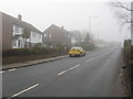
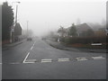
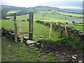
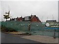
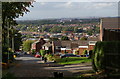
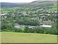
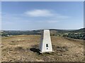
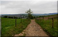
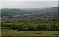
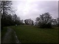
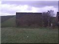
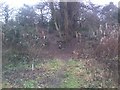
33 photos from this area
Area Information
Key information about the SK15 2EH including its size, population, and administrative classification.
- Area Type
- Postcode
- Area Size
- 3985 m²
- Population
- 1936
- Population Density
- 3657 people/km²
House Prices in SK15 2EH
19
Properties
£104,479
Average Sold Price
£40,950
Lowest Price
£185,000
Highest Price
Showing 19 properties
| Address | Type | Beds | Baths | Last Sale Price | Last Sale Date | |
|---|---|---|---|---|---|---|
| 89 Kay Street, Stalybridge, SK15 2EH | Terraced | 4 | 2 | £185,000 | Apr 2021 | |
| 66 Kay Street, Stalybridge, SK15 2EH | house | - | - | £130,000 | Dec 2020 | |
| 68 Kay Street, Stalybridge, SK15 2EH | Terraced | 2 | 1 | £124,950 | Nov 2018 | |
| 85 Kay Street, Stalybridge, SK15 2EH | Terraced | 2 | 1 | £120,000 | Nov 2018 | |
| 72 Kay Street, Stalybridge, SK15 2EH | Semi-detached | 4 | 1 | £142,000 | Mar 2018 | |
| 62 Kay Street, Stalybridge, SK15 2EH | Terraced | 2 | 1 | £95,000 | Dec 2015 | |
| 93 Kay Street, Stalybridge, SK15 2EH | Terraced | - | - | £140,000 | Feb 2006 | |
| 64 Kay Street, Stalybridge, SK15 2EH | Terraced | 2 | 1 | £40,950 | Jul 2000 | |
| 83 Kay Street, Stalybridge, SK15 2EH | Terraced | 4 | 1 | £59,950 | May 2000 | |
| 77 Kay Street, Stalybridge, SK15 2EH | Detached | - | - | £66,000 | Nov 1999 |
Page 1 of 2
Energy Efficiency in SK15 2EH
Amenities
Schools
| Rank | School | Type | Entry gender | Ages |
|---|
Explore more schools in this area
Go to Schools tabDemographics
Household Size
One person
most common
Accommodation Type
Houses
most common
Tenure
44
majority
Ethnic Group
White
most common
Religion
N/A
most common
Household Composition
N/A
most common
Age
47
median
Adults (30-64 years)
most common
Household Deprivation
N/A
with no deprivation
NS-SEC
31
in Lower managerial occupations
Explore more demographic insights in this area
Go to Demographics tabPlanning
Planning Constraints
- Flood RiskPremium
- Ramsar Wetland SitesPremium
- Area of Outstanding Natural BeautyPremium
- Protected Nature ReservePremium
- Protected WoodlandPremium