Area Overview for SK15 1LU
Photos of SK15 1LU
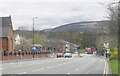
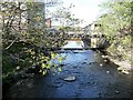
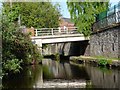
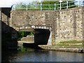
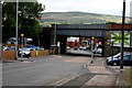
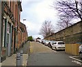
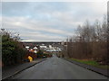

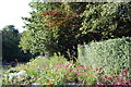
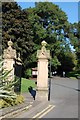
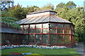
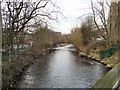
100 photos from this area
Area Information
Key information about the SK15 1LU including its size, population, and administrative classification.
- Area Type
- Postcode
- Area Size
- 1.2 hectares
- Population
- 1415
- Population Density
- 4263 people/km²
House Prices in SK15 1LU
40
Properties
£211,885
Average Sold Price
£39,500
Lowest Price
£425,000
Highest Price
Showing 40 properties
| Address | Type | Beds | Baths | Last Sale Price | Last Sale Date | |
|---|---|---|---|---|---|---|
| 108 Stamford Street, Stalybridge, SK15 1LU | Semi-detached | 6 | 2 | £405,000 | Feb 2025 | |
| 112 Stamford Street, Stalybridge, SK15 1LU | Semi-detached | 5 | 2 | £425,000 | Oct 2023 | |
| 114 Stamford Street, Stalybridge, SK15 1LU | Semi-detached | 4 | 1 | £322,000 | May 2023 | |
| 106 Stamford Street, Stalybridge, SK15 1LU | house | 2 | 1 | £260,000 | Aug 2022 | |
| 116 Stamford Street, Stalybridge, SK15 1LU | house | - | - | £335,000 | Mar 2022 | |
| 147 Stamford Street, Stalybridge, SK15 1LU | Terraced | 3 | 1 | £115,000 | Nov 2019 | |
| 110 Stamford Street, Stalybridge, SK15 1LU | house | 6 | 2 | £312,000 | May 2018 | |
| 149 Stamford Street, Stalybridge, SK15 1LU | Terraced | 3 | 1 | £155,000 | May 2018 | |
| 135 Stamford Street, Stalybridge, SK15 1LU | Semi-detached | 3 | 1 | £105,000 | Jul 2015 | |
| 129 Stamford Street, Stalybridge, SK15 1LU | Terraced | - | - | £141,000 | Aug 2007 |
Page 1 of 4
Energy Efficiency in SK15 1LU
Amenities
Schools
| Rank | School | Type | Entry gender | Ages |
|---|
Explore more schools in this area
Go to Schools tabDemographics
Household Size
Two person
most common
Accommodation Type
Houses
most common
Tenure
58
majority
Ethnic Group
White
most common
Religion
N/A
most common
Household Composition
N/A
most common
Age
47
median
Adults (30-64 years)
most common
Household Deprivation
N/A
with no deprivation
NS-SEC
24
in Lower managerial occupations
Explore more demographic insights in this area
Go to Demographics tabPlanning
Planning Constraints
- Flood RiskPremium
- Ramsar Wetland SitesPremium
- Area of Outstanding Natural BeautyPremium
- Protected Nature ReservePremium
- Protected WoodlandPremium