Area Overview for SK14 2RZ
Photos of SK14 2RZ
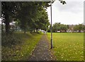
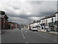
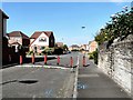
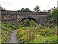
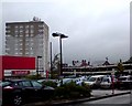
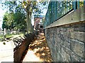
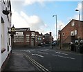
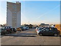
100 photos from this area
Area Information
Key information about the SK14 2RZ including its size, population, and administrative classification.
- Area Type
- Postcode
- Area Size
- 9807 m²
- Population
- 1527
- Population Density
- 4744 people/km²
House Prices in SK14 2RZ
36
Properties
£150,970
Average Sold Price
£44,000
Lowest Price
£307,500
Highest Price
Showing 36 properties
| Address | Type | Beds | Baths | Last Sale Price | Last Sale Date | |
|---|---|---|---|---|---|---|
| 126 Mottram Road, Hyde, SK14 2RZ | Terraced | 2 | 1 | £135,000 | May 2025 | |
| 178 Mottram Road, Hyde, SK14 2RZ | Terraced | 3 | 1 | £205,000 | Apr 2025 | |
| 130 Mottram Road, Hyde, SK14 2RZ | Terraced | 4 | 1 | £210,000 | Mar 2025 | |
| 146 Mottram Road, Hyde, SK14 2RZ | house | - | - | £262,500 | Aug 2022 | |
| 144 Mottram Road, Hyde, SK14 2RZ | Terraced | 4 | 1 | £210,000 | Jun 2022 | |
| 164 Mottram Road, Hyde, SK14 2RZ | Terraced | 2 | 1 | £153,000 | May 2022 | |
| 124 Mottram Road, Hyde, SK14 2RZ | Terraced | 4 | 1 | £175,000 | Mar 2022 | |
| 162 Mottram Road, Hyde, SK14 2RZ | Terraced | 4 | 1 | £160,000 | Jan 2021 | |
| 122 Mottram Road, Hyde, SK14 2RZ | Detached | 4 | 1 | £307,500 | Dec 2019 | |
| 156 Mottram Road, Hyde, SK14 2RZ | Terraced | 3 | 1 | £130,000 | Feb 2018 |
Page 1 of 4
Energy Efficiency in SK14 2RZ
Amenities
Schools
| Rank | School | Type | Entry gender | Ages |
|---|
Explore more schools in this area
Go to Schools tabDemographics
Household Size
One person
most common
Accommodation Type
Houses
most common
Tenure
61
majority
Ethnic Group
White
most common
Religion
N/A
most common
Household Composition
N/A
most common
Age
47
median
Adults (30-64 years)
most common
Household Deprivation
N/A
with no deprivation
NS-SEC
27
in Lower managerial occupations
Explore more demographic insights in this area
Go to Demographics tabPlanning
Planning Constraints
- Flood RiskPremium
- Ramsar Wetland SitesPremium
- Area of Outstanding Natural BeautyPremium
- Protected Nature ReservePremium
- Protected WoodlandPremium