Area Overview for SK14 2PE
Photos of SK14 2PE
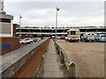
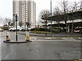
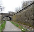
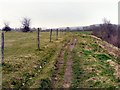
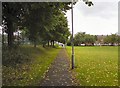
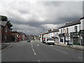
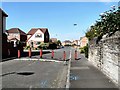
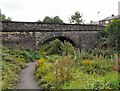
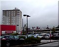
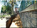
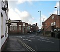
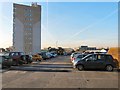
100 photos from this area
Area Information
Key information about the SK14 2PE including its size, population, and administrative classification.
- Area Type
- Postcode
- Area Size
- 1.5 hectares
- Population
- 1527
- Population Density
- 4744 people/km²
House Prices in SK14 2PE
58
Properties
£178,014
Average Sold Price
£43,750
Lowest Price
£750,000
Highest Price
Showing 58 properties
| Address | Type | Beds | Baths | Last Sale Price | Last Sale Date | |
|---|---|---|---|---|---|---|
| 235 Mottram Road, Hyde, SK14 2PE | Terraced | 2 | 1 | £170,000 | Oct 2025 | |
| 179 Mottram Road, Hyde, SK14 2PE | Flat | 3 | 2 | £192,000 | Jan 2025 | |
| 233 Mottram Road, Hyde, SK14 2PE | Terraced | 2 | 1 | £158,000 | Aug 2024 | |
| 185 Mottram Road, Hyde, SK14 2PE | Terraced | 4 | 1 | £312,500 | Feb 2024 | |
| 199 Mottram Road, Hyde, SK14 2PE | Semi-detached | 2 | 1 | £182,000 | Nov 2023 | |
| Bankfield, 175 Mottram Road, Hyde, SK14 2PE | Terraced | - | - | £750,000 | Oct 2023 | |
| 217 Mottram Road, Hyde, SK14 2PE | Terraced | 2 | 1 | £115,000 | Jul 2023 | |
| 181 Mottram Road, Hyde, SK14 2PE | Terraced | 5 | 2 | £335,000 | May 2023 | |
| 211 Mottram Road, Hyde, SK14 2PE | house | - | - | £180,000 | Sep 2022 | |
| 189 Mottram Road, Hyde, SK14 2PE | Terraced | 3 | 1 | £175,000 | Apr 2022 |
Page 1 of 6
Energy Efficiency in SK14 2PE
Amenities
Schools
| Rank | School | Type | Entry gender | Ages |
|---|
Explore more schools in this area
Go to Schools tabDemographics
Household Size
One person
most common
Accommodation Type
Houses
most common
Tenure
61
majority
Ethnic Group
White
most common
Religion
N/A
most common
Household Composition
N/A
most common
Age
47
median
Adults (30-64 years)
most common
Household Deprivation
N/A
with no deprivation
NS-SEC
27
in Lower managerial occupations
Explore more demographic insights in this area
Go to Demographics tabPlanning
Planning Constraints
- Flood RiskPremium
- Ramsar Wetland SitesPremium
- Area of Outstanding Natural BeautyPremium
- Protected Nature ReservePremium
- Protected WoodlandPremium