Area Overview for SK10 5BP
Photos of SK10 5BP
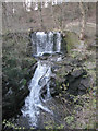
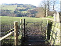
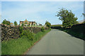
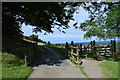
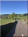
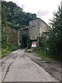
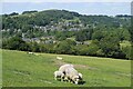
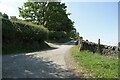
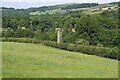
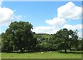
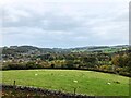
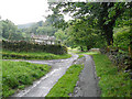
32 photos from this area
Area Information
Key information about the SK10 5BP including its size, population, and administrative classification.
- Area Type
- Postcode
- Area Size
- 47.1 hectares
- Population
- 2543
- Population Density
- 68 people/km²
House Prices in SK10 5BP
43
Properties
£336,380
Average Sold Price
£37,000
Lowest Price
£520,000
Highest Price
Showing 43 properties
| Address | Type | Beds | Baths | Last Sale Price | Last Sale Date | |
|---|---|---|---|---|---|---|
| 42 Ingersley Vale, Bollington, SK10 5BP | Semi-detached | 4 | 2 | £445,000 | Oct 2023 | |
| Beech House, 6 Ingersley Vale, Bollington, SK10 5BP | house | - | - | £389,950 | Jun 2023 | |
| 30 Ingersley Vale, Bollington, SK10 5BP | Semi-detached | 4 | 2 | £365,000 | Aug 2022 | |
| 60 Ingersley Vale, Bollington, SK10 5BP | house | - | - | £420,000 | May 2022 | |
| 66 Ingersley Vale, Bollington, SK10 5BP | house | - | - | £385,000 | Dec 2021 | |
| 62 Ingersley Vale, Bollington, SK10 5BP | house | - | - | £415,000 | Dec 2021 | |
| 70 Ingersley Vale, Bollington, SK10 5BP | house | - | - | £390,000 | Nov 2021 | |
| 72 Ingersley Vale, Bollington, SK10 5BP | house | - | - | £390,000 | Nov 2021 | |
| 74 Ingersley Vale, Bollington, SK10 5BP | house | - | - | £395,000 | Oct 2021 | |
| 68 Ingersley Vale, Bollington, SK10 5BP | house | - | - | £390,000 | Sep 2021 |
Page 1 of 5
Energy Efficiency in SK10 5BP
Amenities
Schools
| Rank | School | Type | Entry gender | Ages |
|---|
Explore more schools in this area
Go to Schools tabDemographics
Household Size
Two person
most common
Accommodation Type
Houses
most common
Tenure
85
majority
Ethnic Group
White
most common
Religion
N/A
most common
Household Composition
N/A
most common
Age
47
median
Adults (30-64 years)
most common
Household Deprivation
N/A
with no deprivation
NS-SEC
50
in Lower managerial occupations
Explore more demographic insights in this area
Go to Demographics tabPlanning
Planning Constraints
- Flood RiskPremium
- Ramsar Wetland SitesPremium
- Area of Outstanding Natural BeautyPremium
- Protected Nature ReservePremium
- Protected WoodlandPremium