Area Overview for PR9 9NJ
Photos of PR9 9NJ
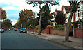
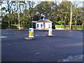
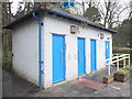
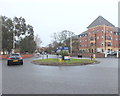
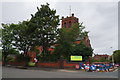
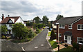
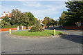
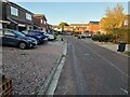
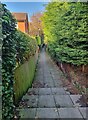
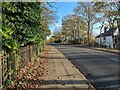
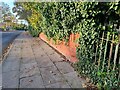
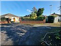
33 photos from this area
Area Information
Key information about the PR9 9NJ including its size, population, and administrative classification.
- Area Type
- Postcode
- Area Size
- 2.1 hectares
- Population
- 1500
- Population Density
- 2959 people/km²
House Prices in PR9 9NJ
24
Properties
£388,363
Average Sold Price
£184,000
Lowest Price
£665,000
Highest Price
Showing 24 properties
| Address | Type | Beds | Baths | Last Sale Price | Last Sale Date | |
|---|---|---|---|---|---|---|
| 5 Allerton Road, Southport, PR9 9NJ | Detached | 6 | 3 | £665,000 | Mar 2025 | |
| 3 Allerton Road, Southport, PR9 9NJ | Unknown | - | - | £375,000 | Oct 2024 | |
| 13 Allerton Road, Southport, PR9 9NJ | Detached | 4 | 2 | £520,000 | Feb 2024 | |
| 20 Allerton Road, Southport, PR9 9NJ | Detached | 6 | 3 | £455,000 | Jun 2019 | |
| 6 Allerton Road, Southport, PR9 9NJ | Detached | 5 | - | £450,000 | Aug 2018 | |
| 15 Allerton Road, Southport, PR9 9NJ | Detached | 6 | 2 | £432,000 | Oct 2017 | |
| 2A Allerton Road, Southport, PR9 9NJ | Detached | 4 | 2 | £300,000 | Nov 2015 | |
| 9 Allerton Road, Southport, PR9 9NJ | Detached | - | - | £360,000 | Sep 2014 | |
| 1A Allerton Road, Southport, PR9 9NJ | Semi-detached | - | - | £275,000 | Aug 2007 | |
| 18 Allerton Road, Southport, PR9 9NJ | Detached | 5 | 2 | £537,950 | Aug 2007 |
Page 1 of 3
Energy Efficiency in PR9 9NJ
Amenities
Schools
| Rank | School | Type | Entry gender | Ages |
|---|
Explore more schools in this area
Go to Schools tabDemographics
Household Size
One person
most common
Accommodation Type
Flats
most common
Tenure
70
majority
Ethnic Group
White
most common
Religion
N/A
most common
Household Composition
N/A
most common
Age
47
median
Elderly (65+ years)
most common
Household Deprivation
N/A
with no deprivation
NS-SEC
39
in Lower managerial occupations
Explore more demographic insights in this area
Go to Demographics tabPlanning
Planning Constraints
- Flood RiskPremium
- Ramsar Wetland SitesPremium
- Area of Outstanding Natural BeautyPremium
- Protected Nature ReservePremium
- Protected WoodlandPremium