Area Overview for PR9 8QF
Photos of PR9 8QF
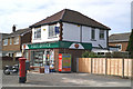
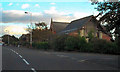
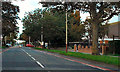
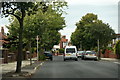
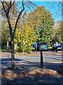
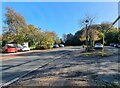
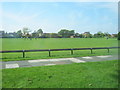
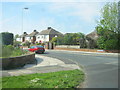
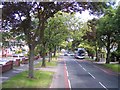

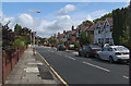
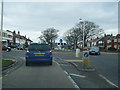
16 photos from this area
Area Information
Key information about the PR9 8QF including its size, population, and administrative classification.
- Area Type
- Postcode
- Area Size
- 1.0 hectares
- Population
- 1370
- Population Density
- 1462 people/km²
House Prices in PR9 8QF
9
Properties
£185,921
Average Sold Price
£44,000
Lowest Price
£287,500
Highest Price
Showing 9 properties
| Address | Type | Beds | Baths | Last Sale Price | Last Sale Date | |
|---|---|---|---|---|---|---|
| 86 Balmoral Drive, Southport, PR9 8QF | Detached | - | - | £287,500 | May 2019 | |
| 82 Balmoral Drive, Southport, PR9 8QF | house | - | - | £262,500 | Nov 2018 | |
| 80 Balmoral Drive, Southport, PR9 8QF | Semi-detached | 4 | 2 | £207,500 | Aug 2018 | |
| 74 Balmoral Drive, Southport, PR9 8QF | house | 4 | 2 | £200,000 | May 2007 | |
| 84 Balmoral Drive, Southport, PR9 8QF | Semi-detached | - | - | £234,950 | Aug 2005 | |
| 76 Balmoral Drive, Southport, PR9 8QF | house | - | - | £44,000 | Apr 1996 | |
| 70 Balmoral Drive, Southport, PR9 8QF | Semi-detached | 4 | - | £65,000 | Jan 1996 | |
| 72 Balmoral Drive, Southport, PR9 8QF | Semi-detached | - | - | - | - | |
| 78 Balmoral Drive, Southport, PR9 8QF | Semi-detached | - | - | - | - |
Energy Efficiency in PR9 8QF
Amenities
Schools
| Rank | School | Type | Entry gender | Ages |
|---|
Explore more schools in this area
Go to Schools tabDemographics
Household Size
Two person
most common
Accommodation Type
Houses
most common
Tenure
86
majority
Ethnic Group
White
most common
Religion
N/A
most common
Household Composition
N/A
most common
Age
47
median
Adults (30-64 years)
most common
Household Deprivation
N/A
with no deprivation
NS-SEC
35
in Lower managerial occupations
Explore more demographic insights in this area
Go to Demographics tabPlanning
Planning Constraints
- Flood RiskPremium
- Ramsar Wetland SitesPremium
- Area of Outstanding Natural BeautyPremium
- Protected Nature ReservePremium
- Protected WoodlandPremium