Area Overview for PR9 8NY
Photos of PR9 8NY
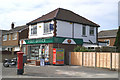
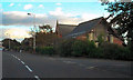
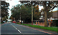
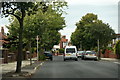
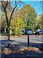
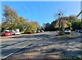
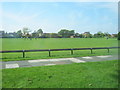
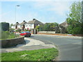
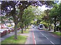

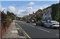
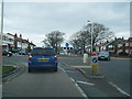
16 photos from this area
Area Information
Key information about the PR9 8NY including its size, population, and administrative classification.
- Area Type
- Postcode
- Area Size
- 2.3 hectares
- Population
- 1160
- Population Density
- 2906 people/km²
House Prices in PR9 8NY
45
Properties
£215,981
Average Sold Price
£142,500
Lowest Price
£295,000
Highest Price
Showing 45 properties
| Address | Type | Beds | Baths | Last Sale Price | Last Sale Date | |
|---|---|---|---|---|---|---|
| 172 Preston New Road, Southport, PR9 8NY | Semi-detached | 4 | 2 | £280,000 | Nov 2024 | |
| 210 Preston New Road, Southport, PR9 8NY | Semi-detached | 2 | 1 | £295,000 | Aug 2024 | |
| 232 Preston New Road, Southport, PR9 8NY | Semi-detached | 2 | 1 | £240,000 | Jun 2023 | |
| 204 Preston New Road, Southport, PR9 8NY | Semi-detached | 2 | 1 | £230,000 | Mar 2023 | |
| 220 Preston New Road, Southport, PR9 8NY | Semi-detached | 3 | 1 | £275,000 | Jan 2023 | |
| 240 Preston New Road, Southport, PR9 8NY | Bungalow | - | - | £245,000 | Oct 2022 | |
| 216 Preston New Road, Southport, PR9 8NY | Detached | 3 | 1 | £295,000 | Sep 2022 | |
| 192 Preston New Road, Southport, PR9 8NY | house | - | - | £240,000 | Apr 2022 | |
| 180 Preston New Road, Southport, PR9 8NY | house | - | - | £195,000 | Mar 2021 | |
| 188 Preston New Road, Southport, PR9 8NY | Semi-detached | - | - | £142,500 | Jan 2020 |
Page 1 of 5
Energy Efficiency in PR9 8NY
Amenities
Schools
| Rank | School | Type | Entry gender | Ages |
|---|
Explore more schools in this area
Go to Schools tabDemographics
Household Size
Two person
most common
Accommodation Type
Houses
most common
Tenure
88
majority
Ethnic Group
White
most common
Religion
N/A
most common
Household Composition
N/A
most common
Age
47
median
Elderly (65+ years)
most common
Household Deprivation
N/A
with no deprivation
NS-SEC
33
in Lower managerial occupations
Explore more demographic insights in this area
Go to Demographics tabPlanning
Planning Constraints
- Flood RiskPremium
- Ramsar Wetland SitesPremium
- Area of Outstanding Natural BeautyPremium
- Protected Nature ReservePremium
- Protected WoodlandPremium