Area Overview for PR9 8JA
Photos of PR9 8JA
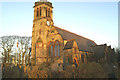
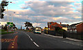

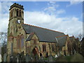
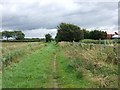
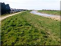
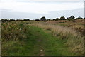
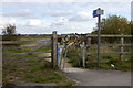
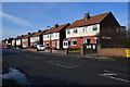
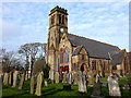
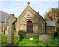
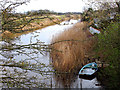
42 photos from this area
Area Information
Key information about the PR9 8JA including its size, population, and administrative classification.
- Area Type
- Postcode
- Area Size
- 3.1 hectares
- Population
- 1414
- Population Density
- 4632 people/km²
House Prices in PR9 8JA
63
Properties
£122,844
Average Sold Price
£31,600
Lowest Price
£200,000
Highest Price
Showing 63 properties
| Address | Type | Beds | Baths | Last Sale Price | Last Sale Date | |
|---|---|---|---|---|---|---|
| 51 The Causeway, Southport, PR9 8JA | house | - | - | £160,000 | Sep 2024 | |
| 45 The Causeway, Southport, PR9 8JA | Terraced | 3 | 1 | £175,000 | Feb 2024 | |
| 69 The Causeway, Southport, PR9 8JA | Semi-detached | 3 | 1 | £200,000 | Aug 2023 | |
| 87 The Causeway, Southport, PR9 8JA | house | - | - | £180,000 | Sep 2021 | |
| 71 The Causeway, Southport, PR9 8JA | house | - | - | £170,000 | Feb 2021 | |
| 61 The Causeway, Southport, PR9 8JA | Semi-detached | 3 | 2 | £106,000 | Sep 2020 | |
| 77 The Causeway, Southport, PR9 8JA | house | - | - | £125,000 | Mar 2020 | |
| 65 The Causeway, Southport, PR9 8JA | Semi-detached | 3 | 1 | £159,230 | Feb 2020 | |
| 79 The Causeway, Southport, PR9 8JA | house | - | - | £140,000 | Dec 2019 | |
| 107 The Causeway, Southport, PR9 8JA | house | - | - | £140,000 | Oct 2019 |
Page 1 of 7
Energy Efficiency in PR9 8JA
Amenities
Schools
| Rank | School | Type | Entry gender | Ages |
|---|
Explore more schools in this area
Go to Schools tabDemographics
Household Size
Two person
most common
Accommodation Type
Houses
most common
Tenure
83
majority
Ethnic Group
White
most common
Religion
N/A
most common
Household Composition
N/A
most common
Age
47
median
Adults (30-64 years)
most common
Household Deprivation
N/A
with no deprivation
NS-SEC
28
in Lower managerial occupations
Explore more demographic insights in this area
Go to Demographics tabPlanning
Planning Constraints
- Flood RiskPremium
- Ramsar Wetland SitesPremium
- Area of Outstanding Natural BeautyPremium
- Protected Nature ReservePremium
- Protected WoodlandPremium