Area Overview for PR6 9SP
Photos of PR6 9SP
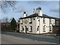
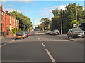
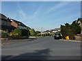
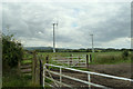
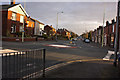
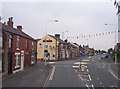
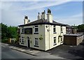
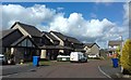
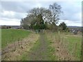
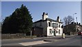
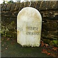
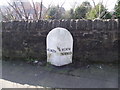
12 photos from this area
Area Information
Key information about the PR6 9SP including its size, population, and administrative classification.
- Area Type
- Postcode
- Area Size
- 5.2 hectares
- Population
- 2122
- Population Density
- 114 people/km²
House Prices in PR6 9SP
25
Properties
£220,795
Average Sold Price
£74,000
Lowest Price
£425,000
Highest Price
Showing 25 properties
| Address | Type | Beds | Baths | Last Sale Price | Last Sale Date | |
|---|---|---|---|---|---|---|
| 91 Sutton Lane, Adlington, PR6 9SP | Bungalow | - | - | £400,000 | Oct 2025 | |
| 58 Sutton Lane, Adlington, PR6 9SP | Detached | 4 | 2 | £425,000 | Nov 2021 | |
| 69 Sutton Lane, Adlington, PR6 9SP | Bungalow | - | - | £320,000 | Sep 2021 | |
| 71 Sutton Lane, Adlington, PR6 9SP | Bungalow | 2 | - | £212,000 | Nov 2014 | |
| 68 Sutton Lane, Adlington, PR6 9SP | Detached | 4 | - | £235,000 | Oct 2013 | |
| 79 Sutton Lane, Adlington, PR6 9SP | Bungalow | - | - | £192,000 | Jul 2013 | |
| 85 Sutton Lane, Adlington, PR6 9SP | Bungalow | - | - | £174,950 | Apr 2011 | |
| 81 Sutton Lane, Adlington, PR6 9SP | Detached | - | - | £74,000 | Apr 1998 | |
| 64 Sutton Lane, Adlington, PR6 9SP | Detached | - | - | £88,000 | Aug 1996 | |
| 62 Sutton Lane, Adlington, PR6 9SP | Detached | - | - | £87,000 | Jan 1995 |
Page 1 of 3
Energy Efficiency in PR6 9SP
Amenities
Schools
| Rank | School | Type | Entry gender | Ages |
|---|
Explore more schools in this area
Go to Schools tabDemographics
Household Size
Two person
most common
Accommodation Type
Houses
most common
Tenure
85
majority
Ethnic Group
White
most common
Religion
N/A
most common
Household Composition
N/A
most common
Age
47
median
Adults (30-64 years)
most common
Household Deprivation
N/A
with no deprivation
NS-SEC
43
in Lower managerial occupations
Explore more demographic insights in this area
Go to Demographics tabPlanning
Planning Constraints
- Flood RiskPremium
- Ramsar Wetland SitesPremium
- Area of Outstanding Natural BeautyPremium
- Protected Nature ReservePremium
- Protected WoodlandPremium