Area Overview for PR6 0QG
Photos of PR6 0QG
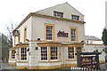
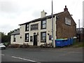
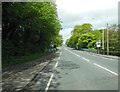
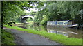
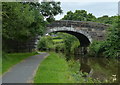
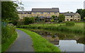
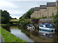
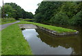
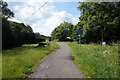
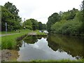
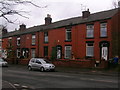
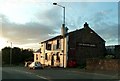
38 photos from this area
Area Information
Key information about the PR6 0QG including its size, population, and administrative classification.
- Area Type
- Postcode
- Area Size
- 4.2 hectares
- Population
- 2438
- Population Density
- 1092 people/km²
House Prices in PR6 0QG
10
Properties
£71,900
Average Sold Price
£50,000
Lowest Price
£93,000
Highest Price
Showing 10 properties
| Address | Type | Beds | Baths | Last Sale Price | Last Sale Date | |
|---|---|---|---|---|---|---|
| 102 Cowling Brow, Chorley, PR6 0QG | house | - | - | £55,000 | Sep 2023 | |
| 110 Cowling Brow, Chorley, PR6 0QG | Terraced | - | - | £93,000 | Apr 2005 | |
| 112 Cowling Brow, Chorley, PR6 0QG | house | 2 | - | £87,000 | Apr 2005 | |
| 104 Cowling Brow, Chorley, PR6 0QG | Terraced | 2 | 1 | £74,500 | Jun 2004 | |
| 100 Cowling Brow, Chorley, PR6 0QG | house | - | - | £50,000 | Jul 2003 | |
| 106 Cowling Brow, Chorley, PR6 0QG | Terraced | 2 | 1 | - | - | |
| Mill House, Cowling Mill, Cowling Brow, Chorley, PR6 0QG | Detached | 1 | 1 | - | - | |
| 108 Cowling Brow, Chorley, PR6 0QG | Terraced | - | - | - | - | |
| 114 Cowling Brow, Chorley, PR6 0QG | Terraced | - | - | - | - | |
| Cemex Uk Materials, Canal Side, Chorley, PR6 0QG | Industrial | - | - | - | - |
Energy Efficiency in PR6 0QG
Amenities
Schools
| Rank | School | Type | Entry gender | Ages |
|---|
Explore more schools in this area
Go to Schools tabDemographics
Household Size
Family (3-5 people)
most common
Accommodation Type
Houses
most common
Tenure
57
majority
Ethnic Group
White
most common
Religion
N/A
most common
Household Composition
N/A
most common
Age
47
median
Adults (30-64 years)
most common
Household Deprivation
N/A
with no deprivation
NS-SEC
29
in Lower managerial occupations
Explore more demographic insights in this area
Go to Demographics tabPlanning
Planning Constraints
- Flood RiskPremium
- Ramsar Wetland SitesPremium
- Area of Outstanding Natural BeautyPremium
- Protected Nature ReservePremium
- Protected WoodlandPremium