Area Overview for PR6 0QE
Photos of PR6 0QE
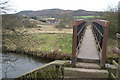
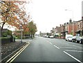
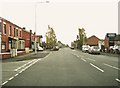
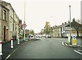
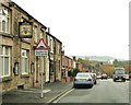
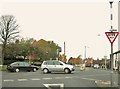
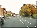
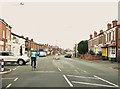
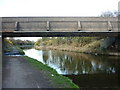
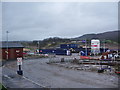
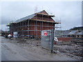
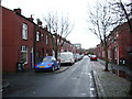
72 photos from this area
Area Information
Key information about the PR6 0QE including its size, population, and administrative classification.
- Area Type
- Postcode
- Area Size
- 7831 m²
- Population
- 1618
- Population Density
- 5835 people/km²
House Prices in PR6 0QE
31
Properties
£97,545
Average Sold Price
£35,000
Lowest Price
£157,500
Highest Price
Showing 31 properties
| Address | Type | Beds | Baths | Last Sale Price | Last Sale Date | |
|---|---|---|---|---|---|---|
| 39 Cowling Brow, Chorley, PR6 0QE | Terraced | 2 | 1 | £120,000 | Mar 2025 | |
| 47 Cowling Brow, Chorley, PR6 0QE | house | - | - | £157,500 | Sep 2021 | |
| 31 Cowling Brow, Chorley, PR6 0QE | house | - | - | £110,000 | Sep 2021 | |
| 43 Cowling Brow, Chorley, PR6 0QE | Terraced | 3 | 1 | £111,500 | Apr 2021 | |
| 27 Cowling Brow, Chorley, PR6 0QE | Terraced | 2 | 1 | £91,000 | Mar 2021 | |
| 35 Cowling Brow, Chorley, PR6 0QE | Terraced | 2 | - | £104,000 | Dec 2019 | |
| 59 Cowling Brow, Chorley, PR6 0QE | Semi-detached | 3 | 1 | £119,995 | Nov 2014 | |
| 25 Cowling Brow, Chorley, PR6 0QE | house | 2 | 1 | £72,000 | Jan 2013 | |
| 57 Cowling Brow, Chorley, PR6 0QE | house | - | - | £100,000 | Nov 2005 | |
| 29 Cowling Brow, Chorley, PR6 0QE | Terraced | 2 | 1 | £35,000 | Nov 1998 |
Page 1 of 4
Energy Efficiency in PR6 0QE
Amenities
Schools
| Rank | School | Type | Entry gender | Ages |
|---|
Explore more schools in this area
Go to Schools tabDemographics
Household Size
Two person
most common
Accommodation Type
Houses
most common
Tenure
70
majority
Ethnic Group
White
most common
Religion
N/A
most common
Household Composition
N/A
most common
Age
47
median
Adults (30-64 years)
most common
Household Deprivation
N/A
with no deprivation
NS-SEC
26
in Lower managerial occupations
Explore more demographic insights in this area
Go to Demographics tabPlanning
Planning Constraints
- Flood RiskPremium
- Ramsar Wetland SitesPremium
- Area of Outstanding Natural BeautyPremium
- Protected Nature ReservePremium
- Protected WoodlandPremium