Area Overview for PR5 4EN
Photos of PR5 4EN


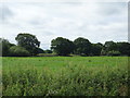
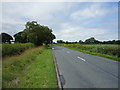
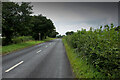
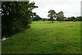
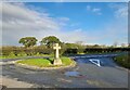

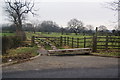
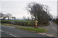
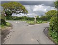
25 photos from this area
Area Information
Key information about the PR5 4EN including its size, population, and administrative classification.
- Area Type
- Postcode
- Area Size
- 64.5 hectares
- Population
- 1606
- Population Density
- 581 people/km²
House Prices in PR5 4EN
14
Properties
£422,567
Average Sold Price
£305,000
Lowest Price
£650,000
Highest Price
Showing 14 properties
| Address | Type | Beds | Baths | Last Sale Price | Last Sale Date | |
|---|---|---|---|---|---|---|
| Ash Tree Cottage, 6 Potter Lane, Higher Walton, Walton Le Dale, PR5 4EN | Bungalow | 4 | 1 | £312,700 | May 2016 | |
| Cross House, Potter Lane, Higher Walton, Walton Le Dale, PR5 4EN | house | - | - | £305,000 | Jan 2003 | |
| Cottage Farm, Potter Lane, Higher Walton, Walton Le Dale, PR5 4EN | Cottage | 2 | 1 | £650,000 | Aug 2002 | |
| Highfield, Potter Lane, Higher Walton, Walton Le Dale, PR5 4EN | Detached | 3 | 1 | - | - | |
| The Cottage, Potter Lane Farm, Potter Lane, Higher Walton, Walton Le Dale, PR5 4EN | Semi-detached | 2 | 1 | - | - | |
| The Potting Shed, Potter Lane, Higher Walton, Walton Le Dale, PR5 4EN | Detached | - | - | - | - | |
| Potter Lane Farm, Potter Lane, Higher Walton, Walton Le Dale, PR5 4EN | house | - | - | - | - | |
| Smithy House, Potter Lane, Higher Walton, Walton Le Dale, PR5 4EN | Detached | - | - | - | - | |
| Coachmans Cottage, Potter Lane, Higher Walton, Walton Le Dale, PR5 4EN | Cottage | 2 | 1 | - | - | |
| Wyndgates, Potter Lane, Higher Walton, Walton Le Dale, PR5 4EN | Detached | - | - | - | - |
Page 1 of 2
Energy Efficiency in PR5 4EN
Amenities
Schools
| Rank | School | Type | Entry gender | Ages |
|---|
Explore more schools in this area
Go to Schools tabDemographics
Household Size
Two person
most common
Accommodation Type
Houses
most common
Tenure
72
majority
Ethnic Group
White
most common
Religion
N/A
most common
Household Composition
N/A
most common
Age
47
median
Adults (30-64 years)
most common
Household Deprivation
N/A
with no deprivation
NS-SEC
32
in Lower managerial occupations
Explore more demographic insights in this area
Go to Demographics tabPlanning
Planning Constraints
- Flood RiskPremium
- Ramsar Wetland SitesPremium
- Area of Outstanding Natural BeautyPremium
- Protected Nature ReservePremium
- Protected WoodlandPremium