Area Overview for PR5 0UQ
Photos of PR5 0UQ
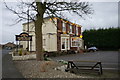
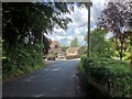
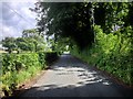
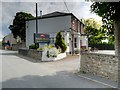
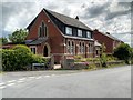
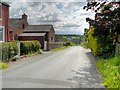
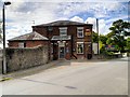
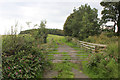
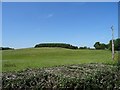
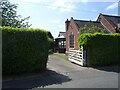
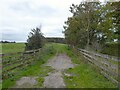
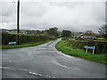
40 photos from this area
Area Information
Key information about the PR5 0UQ including its size, population, and administrative classification.
- Area Type
- Postcode
- Area Size
- 1.1 km²
- Population
- 1187
- Population Density
- 59 people/km²
House Prices in PR5 0UQ
44
Properties
£281,260
Average Sold Price
£46,270
Lowest Price
£1,012,500
Highest Price
Showing 44 properties
| Address | Type | Beds | Baths | Last Sale Price | Last Sale Date | |
|---|---|---|---|---|---|---|
| 3 Nabs Head Lane, Samlesbury, PR5 0UQ | Terraced | 3 | 1 | £180,000 | Jan 2025 | |
| Cricket House Barn, Nabs Head Lane, Samlesbury, PR5 0UQ | Semi-detached | 5 | 3 | £760,000 | Jul 2023 | |
| 6 Nabs Head Lane, Samlesbury, PR5 0UQ | Retail | 3 | 1 | £195,000 | Oct 2022 | |
| Damson House, Nabs Head Lane, Samlesbury, PR5 0UQ | house | - | - | £371,250 | Aug 2021 | |
| Merlewood, Nabs Head Lane, Samlesbury, PR5 0UQ | Bungalow | 3 | 2 | £415,000 | Jun 2021 | |
| 4 Nabs Head Lane, Samlesbury, PR5 0UQ | Terraced | 3 | 1 | £173,000 | Dec 2020 | |
| Sorbrose House, Nabs Head Lane, Samlesbury, PR5 0UQ | Detached | 6 | 4 | £1,012,500 | Mar 2020 | |
| Cherry Blossom Barn, Nabs Head Lane, Samlesbury, PR5 0UQ | house | - | - | £75,000 | Jan 2020 | |
| Lorien, Nabs Head Lane, Samlesbury, PR5 0UQ | Detached | 5 | 1 | £363,000 | Sep 2019 | |
| 12 Nabs Head Lane, Samlesbury, PR5 0UQ | Semi-detached | 3 | 1 | £180,000 | Aug 2018 |
Page 1 of 5
Energy Efficiency in PR5 0UQ
Amenities
Schools
| Rank | School | Type | Entry gender | Ages |
|---|
Explore more schools in this area
Go to Schools tabDemographics
Household Size
Two person
most common
Accommodation Type
Houses
most common
Tenure
84
majority
Ethnic Group
White
most common
Religion
N/A
most common
Household Composition
N/A
most common
Age
47
median
Adults (30-64 years)
most common
Household Deprivation
N/A
with no deprivation
NS-SEC
42
in Lower managerial occupations
Explore more demographic insights in this area
Go to Demographics tabPlanning
Planning Constraints
- Flood RiskPremium
- Ramsar Wetland SitesPremium
- Area of Outstanding Natural BeautyPremium
- Protected Nature ReservePremium
- Protected WoodlandPremium