Area Overview for PR4 6XB
Photos of PR4 6XB
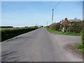
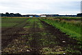
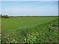
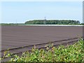

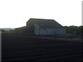
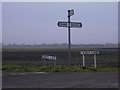
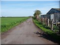
14 photos from this area
Area Information
Key information about the PR4 6XB including its size, population, and administrative classification.
- Area Type
- Postcode
- Area Size
- 1.4 km²
- Population
- 1126
- Population Density
- 80 people/km²
House Prices in PR4 6XB
18
Properties
£381,858
Average Sold Price
£109,500
Lowest Price
£1,172,200
Highest Price
Showing 18 properties
| Address | Type | Beds | Baths | Last Sale Price | Last Sale Date | |
|---|---|---|---|---|---|---|
| West View, Taylors Meanygate, Tarleton, PR4 6XB | Detached | 4 | 2 | £311,000 | Dec 2020 | |
| Red Moss, Taylors Meanygate, Tarleton, PR4 6XB | house | - | - | £1,172,200 | Dec 2018 | |
| Springfield House Farm, Taylors Meanygate, Tarleton, PR4 6XB | Detached | 4 | - | £425,000 | Nov 2014 | |
| Auldene, Taylors Meanygate, Tarleton, PR4 6XB | Bungalow | 3 | 1 | £139,950 | Feb 2002 | |
| Sward Villa, Taylors Meanygate, Tarleton, PR4 6XB | Detached | - | - | £109,500 | Aug 1996 | |
| Laurel Dene, Taylors Meanygate, Tarleton, PR4 6XB | Detached | - | - | £133,500 | Jul 1996 | |
| Rutland, Taylors Meanygate, Tarleton, PR4 6XB | Unknown | - | - | - | - | |
| Agricultural Workers Caravans, Rutland, Taylors Meanygate, Tarleton, PR4 6XB | hotel | - | - | - | - | |
| Lynwood, Taylors Meanygate, Tarleton, PR4 6XB | Bungalow | - | - | - | - | |
| Meanygate Farm, Taylors Meanygate, Tarleton, PR4 6XB | Flat | - | - | - | - |
Page 1 of 2
Energy Efficiency in PR4 6XB
Amenities
Schools
| Rank | School | Type | Entry gender | Ages |
|---|
Explore more schools in this area
Go to Schools tabDemographics
Household Size
Two person
most common
Accommodation Type
Houses
most common
Tenure
84
majority
Ethnic Group
White
most common
Religion
N/A
most common
Household Composition
N/A
most common
Age
47
median
Adults (30-64 years)
most common
Household Deprivation
N/A
with no deprivation
NS-SEC
31
in Lower managerial occupations
Explore more demographic insights in this area
Go to Demographics tabPlanning
Planning Constraints
- Flood RiskPremium
- Ramsar Wetland SitesPremium
- Area of Outstanding Natural BeautyPremium
- Protected Nature ReservePremium
- Protected WoodlandPremium