Area Overview for PR4 6HR
Photos of PR4 6HR
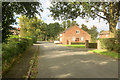
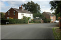
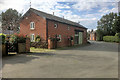
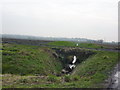
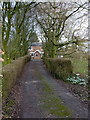
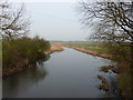
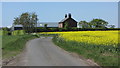
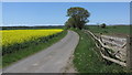
28 photos from this area
Area Information
Key information about the PR4 6HR including its size, population, and administrative classification.
- Area Type
- Postcode
- Area Size
- 32.4 hectares
- Population
- 1522
- Population Density
- 256 people/km²
House Prices in PR4 6HR
15
Properties
£343,333
Average Sold Price
£180,000
Lowest Price
£465,000
Highest Price
Showing 15 properties
| Address | Type | Beds | Baths | Last Sale Price | Last Sale Date | |
|---|---|---|---|---|---|---|
| Cross Farm Cottage, Liverpool Old Road, Sollom, Tarleton, PR4 6HR | house | - | - | £465,000 | Jul 2014 | |
| Whitedial Farm, Liverpool Old Road, Sollom, Tarleton, PR4 6HR | Detached | - | - | £385,000 | Aug 2003 | |
| Laurel Cottage, Liverpool Old Road, Sollom, Tarleton, PR4 6HR | Detached | 4 | 2 | £180,000 | Jan 1997 | |
| Cross Farm Stables, Liverpool Old Road, Sollom, Tarleton, PR4 6HR | house | - | - | - | - | |
| MOOR FARM, LIVERPOOL OLD ROAD, Sollom, Tarleton, PR4 6HR | Detached | - | - | - | - | |
| Whitedial Barn, Liverpool Old Road, Sollom, Tarleton, PR4 6HR | Detached | - | - | - | - | |
| Jenkinsons Farm, Liverpool Old Road, Sollom, Tarleton, PR4 6HR | house | - | - | - | - | |
| Green Lane Farm, Liverpool Old Road, Sollom, Tarleton, PR4 6HR | Detached | - | - | - | - | |
| Cross House, Liverpool Old Road, Sollom, Tarleton, PR4 6HR | Bungalow | - | - | - | - | |
| Wisteria House, Moor Farm, Liverpool Old Road, Sollom, Tarleton, PR4 6HR | house | - | - | - | - |
Page 1 of 2
Energy Efficiency in PR4 6HR
Amenities
Schools
| Rank | School | Type | Entry gender | Ages |
|---|
Explore more schools in this area
Go to Schools tabDemographics
Household Size
Two person
most common
Accommodation Type
Houses
most common
Tenure
71
majority
Ethnic Group
White
most common
Religion
N/A
most common
Household Composition
N/A
most common
Age
47
median
Adults (30-64 years)
most common
Household Deprivation
N/A
with no deprivation
NS-SEC
37
in Lower managerial occupations
Explore more demographic insights in this area
Go to Demographics tabPlanning
Planning Constraints
- Flood RiskPremium
- Ramsar Wetland SitesPremium
- Area of Outstanding Natural BeautyPremium
- Protected Nature ReservePremium
- Protected WoodlandPremium