Area Overview for PR4 6HN
Photos of PR4 6HN
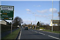
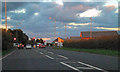
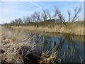
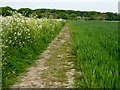
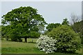
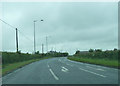
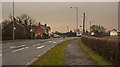
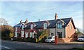
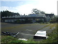
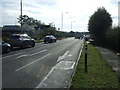
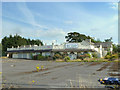
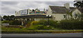
14 photos from this area
Area Information
Key information about the PR4 6HN including its size, population, and administrative classification.
- Area Type
- Postcode
- Area Size
- 42.2 hectares
- Population
- 1522
- Population Density
- 256 people/km²
House Prices in PR4 6HN
43
Properties
£370,833
Average Sold Price
£130,000
Lowest Price
£590,000
Highest Price
Showing 43 properties
| Address | Type | Beds | Baths | Last Sale Price | Last Sale Date | |
|---|---|---|---|---|---|---|
| Moss View, Liverpool Road, Tarleton, PR4 6HN | house | - | - | £590,000 | Dec 2024 | |
| Melrose Cottage, Liverpool Road, Tarleton, PR4 6HN | Bungalow | 3 | 3 | £392,500 | May 2019 | |
| 4, School House, Liverpool Road, Tarleton, PR4 6HN | Terraced | - | - | £130,000 | Dec 2005 | |
| Produce Building, Moss View, Liverpool Road, Tarleton, PR4 6HN | Farm | - | - | - | - | |
| 8, Ascroft Lodge, Liverpool Road, Tarleton, PR4 6HN | Flat | - | - | - | - | |
| 24, Ascroft Lodge, Liverpool Road, Tarleton, PR4 6HN | Flat | - | - | - | - | |
| 18, Ascroft Lodge, Liverpool Road, Tarleton, PR4 6HN | Flat | - | - | - | - | |
| 4, Ascroft Lodge, Liverpool Road, Tarleton, PR4 6HN | Flat | - | - | - | - | |
| 22, Ascroft Lodge, Liverpool Road, Tarleton, PR4 6HN | Flat | - | - | - | - | |
| 3, Ascroft Lodge, Liverpool Road, Tarleton, PR4 6HN | Flat | - | - | - | - |
Page 1 of 5
Energy Efficiency in PR4 6HN
Amenities
Schools
| Rank | School | Type | Entry gender | Ages |
|---|
Explore more schools in this area
Go to Schools tabDemographics
Household Size
Two person
most common
Accommodation Type
Houses
most common
Tenure
71
majority
Ethnic Group
White
most common
Religion
N/A
most common
Household Composition
N/A
most common
Age
47
median
Adults (30-64 years)
most common
Household Deprivation
N/A
with no deprivation
NS-SEC
37
in Lower managerial occupations
Explore more demographic insights in this area
Go to Demographics tabPlanning
Planning Constraints
- Flood RiskPremium
- Ramsar Wetland SitesPremium
- Area of Outstanding Natural BeautyPremium
- Protected Nature ReservePremium
- Protected WoodlandPremium