Area Overview for PR2 6RE
Photos of PR2 6RE
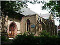
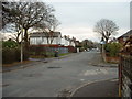
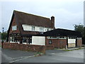
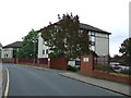
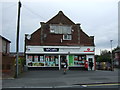
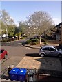
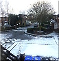
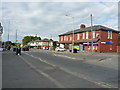
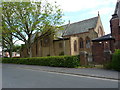
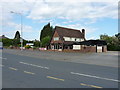
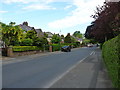
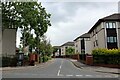
22 photos from this area
Area Information
Key information about the PR2 6RE including its size, population, and administrative classification.
- Area Type
- Postcode
- Area Size
- 1.8 hectares
- Population
- 1546
- Population Density
- 1924 people/km²
House Prices in PR2 6RE
18
Properties
£115,788
Average Sold Price
£43,500
Lowest Price
£180,000
Highest Price
Showing 18 properties
| Address | Type | Beds | Baths | Last Sale Price | Last Sale Date | |
|---|---|---|---|---|---|---|
| 47 Longridge Road, Preston, PR2 6RE | Semi-detached | 3 | 1 | £155,000 | Dec 2024 | |
| 55 Longridge Road, Preston, PR2 6RE | house | - | - | £120,000 | Jul 2023 | |
| 59A Longridge Road, Preston, PR2 6RE | Flat | - | - | £180,000 | Sep 2021 | |
| 29 Longridge Road, Preston, PR2 6RE | Semi-detached | 3 | - | £107,500 | May 2016 | |
| 35 Longridge Road, Preston, PR2 6RE | house | - | - | £125,000 | Feb 2012 | |
| 37 Longridge Road, Preston, PR2 6RE | house | - | - | £140,000 | Apr 2009 | |
| 27 Longridge Road, Preston, PR2 6RE | Semi-detached | - | - | £148,000 | Jun 2007 | |
| 41 Longridge Road, Preston, PR2 6RE | house | - | - | £149,950 | Aug 2006 | |
| 49 Longridge Road, Preston, PR2 6RE | house | - | - | £115,000 | Aug 2006 | |
| 43 Longridge Road, Preston, PR2 6RE | house | 3 | - | £47,500 | Jul 1999 |
Page 1 of 2
Energy Efficiency in PR2 6RE
Amenities
Schools
| Rank | School | Type | Entry gender | Ages |
|---|
Explore more schools in this area
Go to Schools tabDemographics
Household Size
Family (3-5 people)
most common
Accommodation Type
Houses
most common
Tenure
64
majority
Ethnic Group
White
most common
Religion
N/A
most common
Household Composition
N/A
most common
Age
47
median
Adults (30-64 years)
most common
Household Deprivation
N/A
with no deprivation
NS-SEC
26
in Lower managerial occupations
Explore more demographic insights in this area
Go to Demographics tabPlanning
Planning Constraints
- Flood RiskPremium
- Ramsar Wetland SitesPremium
- Area of Outstanding Natural BeautyPremium
- Protected Nature ReservePremium
- Protected WoodlandPremium