Area Overview for PR2 5SH
Photos of PR2 5SH
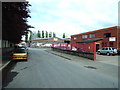
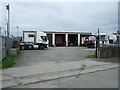
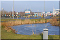
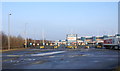
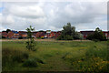
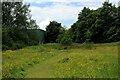
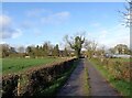
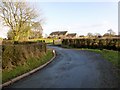
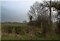
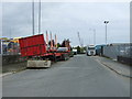
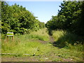
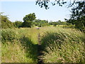
13 photos from this area
Area Information
Key information about the PR2 5SH including its size, population, and administrative classification.
- Area Type
- Postcode
- Area Size
- 75.7 hectares
- Population
- 2801
- Population Density
- 215 people/km²
House Prices in PR2 5SH
26
Properties
£339,000
Average Sold Price
£100,000
Lowest Price
£995,000
Highest Price
Showing 26 properties
| Address | Type | Beds | Baths | Last Sale Price | Last Sale Date | |
|---|---|---|---|---|---|---|
| Hothersall Cottage, Cow Hill, Preston, PR2 5SH | Cottage | 3 | 1 | £145,000 | May 2025 | |
| Benfield, Cow Hill, Preston, PR2 5SH | house | - | - | £995,000 | Feb 2023 | |
| Bramble Farm, Cow Hill, Preston, PR2 5SH | Detached | 4 | - | £545,000 | Aug 2021 | |
| Whinfield Cottage, Cow Hill, Preston, PR2 5SH | Detached | 4 | 3 | £570,000 | Feb 2021 | |
| Bowland View House, Cow Hill, Preston, PR2 5SH | house | - | - | £175,000 | Sep 2020 | |
| Sumners Farm, Cow Hill, Preston, PR2 5SH | house | - | - | £100,000 | Oct 2019 | |
| Stone Cottage, Cow Hill, Preston, PR2 5SH | Cottage | 3 | 1 | £440,000 | Oct 2018 | |
| Ridge View, Cow Hill, Preston, PR2 5SH | Semi-detached | 3 | 1 | £267,000 | May 2016 | |
| 4, East View, Cow Hill, Preston, PR2 5SH | Cottage | 2 | - | £195,000 | Oct 2007 | |
| Cow Hill Barn, Cow Hill, Preston, PR2 5SH | Detached | 4 | 3 | £600,000 | Sep 2007 |
Page 1 of 3
Energy Efficiency in PR2 5SH
Amenities
Schools
| Rank | School | Type | Entry gender | Ages |
|---|
Explore more schools in this area
Go to Schools tabDemographics
Household Size
Family (3-5 people)
most common
Accommodation Type
Houses
most common
Tenure
86
majority
Ethnic Group
White
most common
Religion
N/A
most common
Household Composition
N/A
most common
Age
47
median
Adults (30-64 years)
most common
Household Deprivation
N/A
with no deprivation
NS-SEC
43
in Lower managerial occupations
Explore more demographic insights in this area
Go to Demographics tabPlanning
Planning Constraints
- Flood RiskPremium
- Ramsar Wetland SitesPremium
- Area of Outstanding Natural BeautyPremium
- Protected Nature ReservePremium
- Protected WoodlandPremium