Area Overview for PR2 5SD
Photos of PR2 5SD
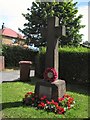
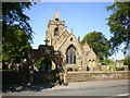
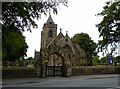
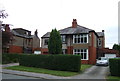
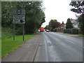
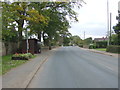
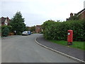
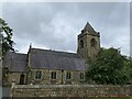
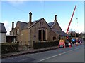
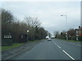
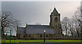
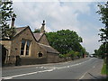
15 photos from this area
Area Information
Key information about the PR2 5SD including its size, population, and administrative classification.
- Area Type
- Postcode
- Area Size
- 75.1 hectares
- Population
- 2801
- Population Density
- 215 people/km²
House Prices in PR2 5SD
23
Properties
£363,250
Average Sold Price
£78,000
Lowest Price
£675,000
Highest Price
Showing 23 properties
| Address | Type | Beds | Baths | Last Sale Price | Last Sale Date | |
|---|---|---|---|---|---|---|
| 99 Preston Road, Preston, PR2 5SD | Bungalow | 2 | 1 | £675,000 | Sep 2023 | |
| 58 Preston Road, Preston, PR2 5SD | Detached | 4 | 2 | £425,000 | Aug 2022 | |
| 101 Preston Road, Preston, PR2 5SD | Detached | 3 | 2 | £275,000 | Sep 2020 | |
| 56 Preston Road, Preston, PR2 5SD | Bungalow | 3 | 1 | £78,000 | Oct 1996 | |
| 34 Preston Road, Preston, PR2 5SD | Bungalow | 4 | 1 | - | - | |
| Church House Barn, Preston Road, Preston, PR2 5SD | Semi-detached | 4 | 3 | - | - | |
| Grimsargh Vicarage, 46 Preston Road, Preston, PR2 5SD | Detached | 3 | 2 | - | - | |
| 50 Preston Road, Preston, PR2 5SD | Semi-detached | 3 | - | - | - | |
| 52 Preston Road, Preston, PR2 5SD | Detached | 5 | - | - | - | |
| 30 Preston Road, Preston, PR2 5SD | Detached | 4 | - | - | - |
Page 1 of 3
Energy Efficiency in PR2 5SD
Amenities
Schools
| Rank | School | Type | Entry gender | Ages |
|---|
Explore more schools in this area
Go to Schools tabDemographics
Household Size
Family (3-5 people)
most common
Accommodation Type
Houses
most common
Tenure
86
majority
Ethnic Group
White
most common
Religion
N/A
most common
Household Composition
N/A
most common
Age
47
median
Adults (30-64 years)
most common
Household Deprivation
N/A
with no deprivation
NS-SEC
43
in Lower managerial occupations
Explore more demographic insights in this area
Go to Demographics tabPlanning
Planning Constraints
- Flood RiskPremium
- Ramsar Wetland SitesPremium
- Area of Outstanding Natural BeautyPremium
- Protected Nature ReservePremium
- Protected WoodlandPremium