Area Overview for PR2 1XJ
Photos of PR2 1XJ
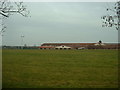
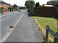
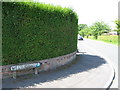
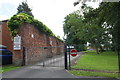
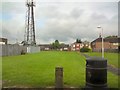
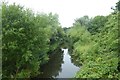
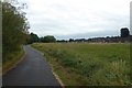
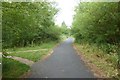
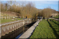
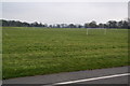
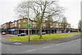
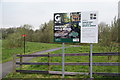
37 photos from this area
Area Information
Key information about the PR2 1XJ including its size, population, and administrative classification.
- Area Type
- Postcode
- Area Size
- 2.5 hectares
- Population
- 1355
- Population Density
- 3443 people/km²
House Prices in PR2 1XJ
28
Properties
£153,613
Average Sold Price
£45,000
Lowest Price
£372,000
Highest Price
Showing 28 properties
| Address | Type | Beds | Baths | Last Sale Price | Last Sale Date | |
|---|---|---|---|---|---|---|
| 702 Blackpool Road, Preston, PR2 1XJ | Terraced | 3 | 1 | £135,000 | Oct 2023 | |
| 760 Blackpool Road, Preston, PR2 1XJ | Detached | 4 | 2 | £372,000 | Dec 2022 | |
| 758 Blackpool Road, Preston, PR2 1XJ | Detached | 4 | 2 | £275,000 | Nov 2022 | |
| 712 Blackpool Road, Preston, PR2 1XJ | Retail | 2 | 1 | £112,500 | Sep 2022 | |
| 752 Blackpool Road, Preston, PR2 1XJ | house | 4 | - | £175,000 | Aug 2021 | |
| 704 Blackpool Road, Preston, PR2 1XJ | Detached | - | - | £45,000 | Apr 2021 | |
| 714 Blackpool Road, Preston, PR2 1XJ | house | 3 | - | £148,000 | Sep 2020 | |
| 750 Blackpool Road, Preston, PR2 1XJ | house | 3 | 1 | £155,000 | Jul 2020 | |
| 706 Blackpool Road, Preston, PR2 1XJ | Semi-detached | 3 | 1 | £85,000 | Sep 2018 | |
| 746 Blackpool Road, Preston, PR2 1XJ | Semi-detached | 3 | 1 | £168,750 | Sep 2017 |
Page 1 of 3
Energy Efficiency in PR2 1XJ
Amenities
Schools
| Rank | School | Type | Entry gender | Ages |
|---|
Explore more schools in this area
Go to Schools tabDemographics
Household Size
One person
most common
Accommodation Type
Houses
most common
Tenure
62
majority
Ethnic Group
White
most common
Religion
N/A
most common
Household Composition
N/A
most common
Age
47
median
Adults (30-64 years)
most common
Household Deprivation
N/A
with no deprivation
NS-SEC
22
in Lower managerial occupations
Explore more demographic insights in this area
Go to Demographics tabPlanning
Planning Constraints
- Flood RiskPremium
- Ramsar Wetland SitesPremium
- Area of Outstanding Natural BeautyPremium
- Protected Nature ReservePremium
- Protected WoodlandPremium