Area Overview for PR2 1XH
Photos of PR2 1XH
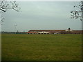
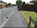
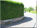
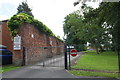
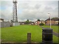
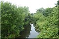
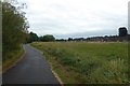
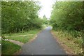
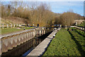
37 photos from this area
Area Information
Key information about the PR2 1XH including its size, population, and administrative classification.
- Area Type
- Postcode
- Area Size
- 1.0 hectares
- Population
- 1792
- Population Density
- 3333 people/km²
House Prices in PR2 1XH
40
Properties
£111,144
Average Sold Price
£45,950
Lowest Price
£145,000
Highest Price
Showing 40 properties
| Address | Type | Beds | Baths | Last Sale Price | Last Sale Date | |
|---|---|---|---|---|---|---|
| 739 Blackpool Road, Preston, PR2 1XH | Terraced | 3 | 1 | £145,000 | May 2024 | |
| 695 Blackpool Road, Preston, PR2 1XH | Terraced | 2 | 1 | £125,000 | Feb 2024 | |
| 711 Blackpool Road, Preston, PR2 1XH | Terraced | 3 | 1 | £135,000 | Nov 2023 | |
| 699 Blackpool Road, Preston, PR2 1XH | Terraced | 3 | 1 | £132,000 | Aug 2023 | |
| 693 Blackpool Road, Preston, PR2 1XH | Terraced | 3 | 1 | £122,000 | Jul 2023 | |
| 735 Blackpool Road, Preston, PR2 1XH | Terraced | 3 | 1 | £127,500 | May 2023 | |
| 757 Blackpool Road, Preston, PR2 1XH | house | - | - | £125,500 | Mar 2023 | |
| 713 Blackpool Road, Preston, PR2 1XH | house | - | - | £110,000 | Nov 2021 | |
| 691 Blackpool Road, Preston, PR2 1XH | Terraced | 3 | 1 | £115,000 | Aug 2021 | |
| 765 Blackpool Road, Preston, PR2 1XH | Terraced | 3 | 1 | £101,000 | May 2021 |
Page 1 of 4
Energy Efficiency in PR2 1XH
Amenities
Schools
| Rank | School | Type | Entry gender | Ages |
|---|
Explore more schools in this area
Go to Schools tabDemographics
Household Size
Family (3-5 people)
most common
Accommodation Type
Houses
most common
Tenure
58
majority
Ethnic Group
White
most common
Religion
N/A
most common
Household Composition
N/A
most common
Age
47
median
Adults (30-64 years)
most common
Household Deprivation
N/A
with no deprivation
NS-SEC
22
in Lower managerial occupations
Explore more demographic insights in this area
Go to Demographics tabPlanning
Planning Constraints
- Flood RiskPremium
- Ramsar Wetland SitesPremium
- Area of Outstanding Natural BeautyPremium
- Protected Nature ReservePremium
- Protected WoodlandPremium