Area Overview for PR1 6HN
Photos of PR1 6HN
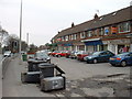
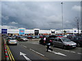
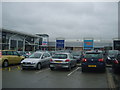
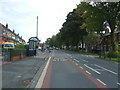
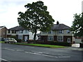
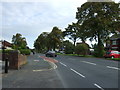
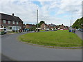
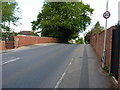
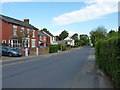
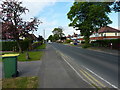
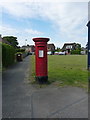
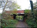
23 photos from this area
Area Information
Key information about the PR1 6HN including its size, population, and administrative classification.
- Area Type
- Postcode
- Area Size
- 4.4 hectares
- Population
- 2731
- Population Density
- 4485 people/km²
House Prices in PR1 6HN
49
Properties
£91,824
Average Sold Price
£21,000
Lowest Price
£175,000
Highest Price
Showing 49 properties
| Address | Type | Beds | Baths | Last Sale Price | Last Sale Date | |
|---|---|---|---|---|---|---|
| 64 Manor House Lane, Preston, PR1 6HN | Terraced | 4 | 1 | £175,000 | Mar 2025 | |
| 76 Manor House Lane, Preston, PR1 6HN | Terraced | 4 | 1 | £135,000 | Feb 2024 | |
| 38 Manor House Lane, Preston, PR1 6HN | house | - | - | £150,000 | Dec 2021 | |
| 66 Manor House Lane, Preston, PR1 6HN | Semi-detached | 3 | - | £112,000 | Sep 2021 | |
| 68 Manor House Lane, Preston, PR1 6HN | house | 3 | - | £72,000 | Dec 2019 | |
| 53 Manor House Lane, Preston, PR1 6HN | Terraced | 3 | 1 | £80,000 | Jul 2018 | |
| 73 Manor House Lane, Preston, PR1 6HN | Terraced | 3 | - | £62,000 | Jun 2016 | |
| 82 Manor House Lane, Preston, PR1 6HN | Terraced | 3 | 1 | £80,500 | Mar 2016 | |
| 79 Manor House Lane, Preston, PR1 6HN | house | - | - | £105,000 | Mar 2016 | |
| 74 Manor House Lane, Preston, PR1 6HN | Terraced | 4 | 1 | £83,500 | Feb 2016 |
Page 1 of 5
Energy Efficiency in PR1 6HN
Amenities
Schools
| Rank | School | Type | Entry gender | Ages |
|---|
Explore more schools in this area
Go to Schools tabDemographics
Household Size
Family (3-5 people)
most common
Accommodation Type
Houses
most common
Tenure
51
majority
Ethnic Group
White
most common
Religion
N/A
most common
Household Composition
N/A
most common
Age
47
median
Adults (30-64 years)
most common
Household Deprivation
N/A
with no deprivation
NS-SEC
17
in Lower managerial occupations
Explore more demographic insights in this area
Go to Demographics tabPlanning
Planning Constraints
- Flood RiskPremium
- Ramsar Wetland SitesPremium
- Area of Outstanding Natural BeautyPremium
- Protected Nature ReservePremium
- Protected WoodlandPremium