Area Overview for PR2 8AB
Photos of PR2 8AB
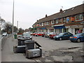
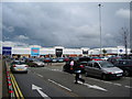
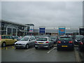
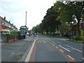
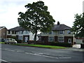
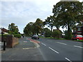
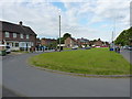
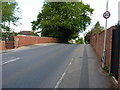
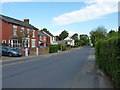
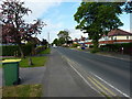
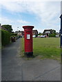
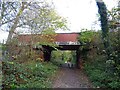
23 photos from this area
Area Information
Key information about the PR2 8AB including its size, population, and administrative classification.
- Area Type
- Postcode
- Area Size
- 3.6 hectares
- Population
- 1456
- Population Density
- 3718 people/km²
House Prices in PR2 8AB
69
Properties
£159,962
Average Sold Price
£43,000
Lowest Price
£317,500
Highest Price
Showing 69 properties
| Address | Type | Beds | Baths | Last Sale Price | Last Sale Date | |
|---|---|---|---|---|---|---|
| 265 Watling Street Road, Preston, PR2 8AB | Terraced | 3 | 1 | £242,000 | Nov 2023 | |
| 277 Watling Street Road, Preston, PR2 8AB | Terraced | 3 | 2 | £198,000 | Mar 2023 | |
| 299 Watling Street Road, Preston, PR2 8AB | Terraced | 3 | - | £49,500 | Mar 2023 | |
| 235 Watling Street Road, Preston, PR2 8AB | Semi-detached | 4 | 2 | £315,000 | Dec 2022 | |
| 275 Watling Street Road, Preston, PR2 8AB | Retail | 3 | 1 | £198,000 | Aug 2022 | |
| 229 Watling Street Road, Preston, PR2 8AB | house | - | - | £275,000 | Feb 2022 | |
| 225 Watling Street Road, Preston, PR2 8AB | house | - | - | £317,500 | Jan 2022 | |
| 309 Watling Street Road, Preston, PR2 8AB | house | - | - | £252,000 | Aug 2021 | |
| 267 Watling Street Road, Preston, PR2 8AB | Terraced | 3 | 2 | £212,000 | Jun 2021 | |
| 273 Watling Street Road, Preston, PR2 8AB | house | 4 | 1 | £177,000 | Jun 2021 |
Page 1 of 7
Energy Efficiency in PR2 8AB
Amenities
Schools
| Rank | School | Type | Entry gender | Ages |
|---|
Explore more schools in this area
Go to Schools tabDemographics
Household Size
One person
most common
Accommodation Type
Houses
most common
Tenure
63
majority
Ethnic Group
White
most common
Religion
N/A
most common
Household Composition
N/A
most common
Age
47
median
Adults (30-64 years)
most common
Household Deprivation
N/A
with no deprivation
NS-SEC
28
in Lower managerial occupations
Explore more demographic insights in this area
Go to Demographics tabPlanning
Planning Constraints
- Flood RiskPremium
- Ramsar Wetland SitesPremium
- Area of Outstanding Natural BeautyPremium
- Protected Nature ReservePremium
- Protected WoodlandPremium