Area Overview for OL16 2SW
Photos of OL16 2SW
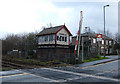
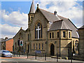
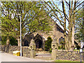
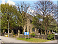
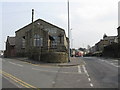
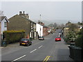
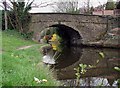
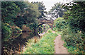
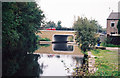
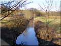

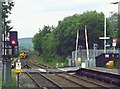
61 photos from this area
Area Information
Key information about the OL16 2SW including its size, population, and administrative classification.
- Area Type
- Postcode
- Area Size
- 5859 m²
- Population
- 2156
- Population Density
- 1587 people/km²
House Prices in OL16 2SW
19
Properties
£159,655
Average Sold Price
£54,000
Lowest Price
£210,000
Highest Price
Showing 19 properties
| Address | Type | Beds | Baths | Last Sale Price | Last Sale Date | |
|---|---|---|---|---|---|---|
| 36 South View Terrace, Wardle, OL16 2SW | Semi-detached | 3 | 1 | £205,000 | Dec 2024 | |
| 6 South View Terrace, Wardle, OL16 2SW | Semi-detached | 3 | 1 | £200,000 | May 2024 | |
| 28 South View Terrace, Wardle, OL16 2SW | Semi-detached | 3 | 1 | £210,000 | Apr 2023 | |
| 30 South View Terrace, Wardle, OL16 2SW | Detached | 3 | 1 | £160,000 | Apr 2020 | |
| 26 South View Terrace, Wardle, OL16 2SW | house | - | - | £161,000 | Jan 2019 | |
| 22 South View Terrace, Wardle, OL16 2SW | Semi-detached | 3 | - | £158,000 | Nov 2017 | |
| 12 South View Terrace, Wardle, OL16 2SW | house | 3 | 2 | £162,000 | Sep 2015 | |
| 38 South View Terrace, Wardle, OL16 2SW | Terraced | - | - | £159,950 | Jul 2008 | |
| 4 South View Terrace, Wardle, OL16 2SW | house | - | - | £147,250 | Oct 2007 | |
| 20 South View Terrace, Wardle, OL16 2SW | Terraced | - | - | £139,000 | May 2005 |
Page 1 of 2
Energy Efficiency in OL16 2SW
Amenities
Schools
| Rank | School | Type | Entry gender | Ages |
|---|
Explore more schools in this area
Go to Schools tabDemographics
Household Size
Family (3-5 people)
most common
Accommodation Type
Houses
most common
Tenure
82
majority
Ethnic Group
White
most common
Religion
N/A
most common
Household Composition
N/A
most common
Age
47
median
Adults (30-64 years)
most common
Household Deprivation
N/A
with no deprivation
NS-SEC
36
in Lower managerial occupations
Explore more demographic insights in this area
Go to Demographics tabPlanning
Planning Constraints
- Flood RiskPremium
- Ramsar Wetland SitesPremium
- Area of Outstanding Natural BeautyPremium
- Protected Nature ReservePremium
- Protected WoodlandPremium